You have no items in your shopping cart.


119,95€
Availability :
Sold Out
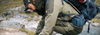
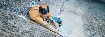
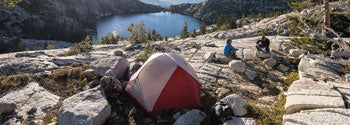
Maintenez le cap

Description du produit
The new eTrex? 10 maintains the main function, stability, small price and autonomy, and eTrex is the most reliable global positioning system on the market. In addition, Garmin enhanced the user interface and added a global map backplane, virtual treasure hunt and support mounting accessories. They have the same name They are of the same quality. But l'etrex 10 is a brand new device. A device that only Garmin can give you
The eTrex 10 comes with a 2.2-inch monochrome display that is easy to read regardless of ambient brightness. The eTrex 10 is robust and hermetically sealed and is suitable for resistance elements. With its user-friendly interface, you can focus on outdoor activities by reducing the time you spend searching for information. "ETrex 10" provides unprecedented strength against all kinds of factors: dust, sludge, moisture or water, nothing can stop your navigation system.
ETrex 10 supports direct downloading of GPX search files to your device. No more paper is needed You not only contribute to environmental protection, but also improve your efficiency. ETrex 10 stores and displays important information such as your location, terrain and difficulty, tips and descriptions. You no longer need to manually enter coordinates and print any files. Just download the GPX file to your device and leave to find the treasure.
With a WAAS compatible high sensitivity GPS receiver and hotfix? Satellite forecasting system, eTrex 10 calculates your position quickly and accurately and maintains its GPS position, even in dense forest areas and closed valleys. The advantage is obvious: whether you're at the bottom of the woods, or near trees or buildings, you can rely on eTrex 10 to guide you when you need it most.
The new eTrex family of devices is the first mass receiver to be able to track both GPS and GLONASS satellites. GLONASS is a system developed by the Russian Federation. The project will be fully implemented in 2012. Compared with GLONASS satellite, positioning and locking speed (average) is 20% faster than GPS system. When two GPS and GLONASS are used, the receiver uses 24 more satellites than GPS only.
Caractéristiques principales
- Fond cartographique mondial
- Ecran monochrome de 2,2 pouces, facile à lire quelle que soit la luminosité
- Satellites GPS et GLONASS pour un positionnement rapide
- Chasses au trésor virtuelles
- Autonomie de la batterie de 25 heures avec 2 piles AA
Informations techniques
| Poids | 141,7 g (avec les piles) |
| Dimensions | 5,4(L) x 10,3(l) x 3,3(p) cm |
| Batterie | 2 piles AA (non fournies) ; NiMH ou Lithium recommandé |
| Etanchéité | IPX7 |