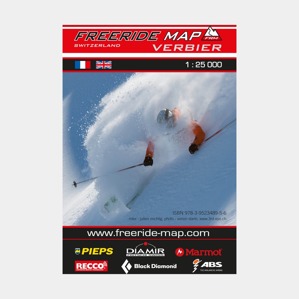
The first map available for freeriders, where local freeride knowledge is made available to a wider audience.
All slopes, descents and couloirs are marked as freeride corridors with different colors for three difficulty levels: blue for technically easy terrain, yellow for advanced to very advanced levels and red for extremely difficult, partially exposed terrain reserved for crack riders.
Short ascents are marked with red lines.
The maps are printed on waterproof and indestructible paper. On the back, the maps include all relevant information on planning, safety and rescue.
Main features