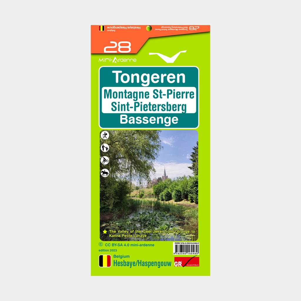
With its system of node points each associated with a locality, they will allow both the occasional walker who prefers short loops, and the professional hiker who prefers long treks, to discover the deep Ardennes and its fantastic atmosphere.
Main features
- Geographic data ©ODbL OpenStreetMap Contributors
- Relief and altimetric contour lines at 5m intervals
- Text translation in French, Dutch, German and English
- Multitude of points of interest (restaurants, hotels, guesthouses, bakeries, butchers, snack bars, cafés, pharmacies, supermarkets, castles, museums, churches, crosses, chapels, train stations, playgrounds, picnic tables, barbecues, etc.)
- Additional information (private paths, cycling paths, parking areas, benches, etc.)
- Mileage indicated on each section between two node points to calculate the total distance of the route
-
QR codes linked to the website www.mini-ardenne.be which lists all points of interest by village of the deep Ardennes and their fantastic atmosphere.
- Tourist attractions, campsites and a multitude of points of interest such as bakeries, cafés, playgrounds, ... are also included on the map.