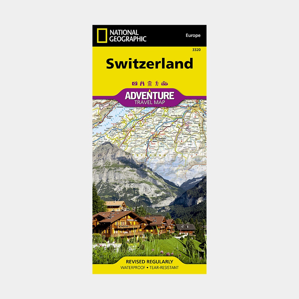
The National Geographic Switzerland Adventure Map offers travelers from around the world the perfect combination of detail and perspective in a highly functional travel tool.
Cities and towns are clearly marked and easy to find in the user-friendly index. A comprehensive road network with distances and designations for roads, motorways, highways, and secondary roads will help you find the route that suits you best.
Specialized content including hundreds of diverse and unique recreational, ecological, cultural, and historical destinations makes this map invaluable for travelers who wish to discover all the attractions the country has to offer.
Botanical gardens, campsites, archaeological sites, castles, caves, scenic viewpoints, and golf courses are among the many points of interest noted.
The eastern half of the country from the city of Lucerne eastward is shown on the front of the printed map, from the border with Germany to the north, Austria to the east, and Italy to the south. The reverse side covers Lucerne to the western border with France.
The location of airports, airfields, railways, border crossings, and car ferries eliminates guesswork when traveling across the country. Certain gas stations, hotels, restaurants, and snack bars are also marked for travelers in search of additional resources.
Every Adventure Map is printed on durable synthetic paper, making them waterproof, tear-resistant, and resilient - capable of withstanding the rigors of international travel.
Main features