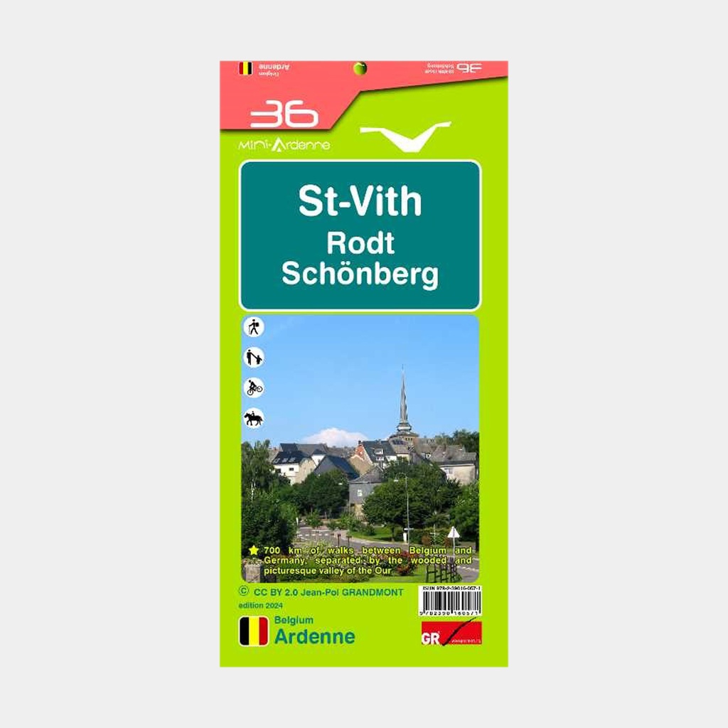
The Mini-Ardenne map is a practical and clear hiking map at a scale of 1/25,000 covering part of the Ardennes, namely St-Vith, Rodt and Schönberg.
Thanks to the use of junction points and small and large hiking loops, these maps are suitable for both beginners and experienced hikers, cyclists and horse riders.
Tourist attractions, campsites and points of interest such as restaurants, playgrounds, etc., are also indicated. Relief and contour lines with a 5-metre interval.
Distance in kilometres for each section (between two junction points) to calculate the total length of the route.
The legend and texts are available in four languages (Dutch, French, English and German).
Includes QR codes linking to the website: www.mini-ardenne.be where all the attractions of the respective town are listed.
Main features
- In French, Dutch, German, English
- Walking, cycling and hiking routes
- 700 km of trails
- Scale 1 / 25000