The Natural Parks of Wallonia represent 33% of the Walloon territory, comprising 71 municipalities spread throughout Wallonia. These are areas with a distinctive landscape identity, offering visitors a rich and unspoiled natural environment. As places of rejuvenation and home to numerous walking trails, the Natural Parks now welcome passionate hikers with 36 new loops gathered in 2 topo-guides.
The topo-guides of «Randonnées en Boucle® » (the RB®) offer a format suited to enthusiasts who enjoy day trips of around twenty kilometres, complemented by variants allowing everyone to tailor their route. These walks are based on the GR® or GR®P trails well known to long-distance hikers. Each province offers a topo-guide featuring 16 RB, some of which double the existing offering of walking discoveries.
The twelve Natural Parks of Wallonia invite you in turn to explore on foot... Spread across two volumes, 36 RB® will allow you to discover these rural areas and their many facets, to admire without limit the landscapes that unfold before you, this unspoiled nature, breathtaking panoramas, typical villages and hamlets, the richness of local produce, their heritage, ...
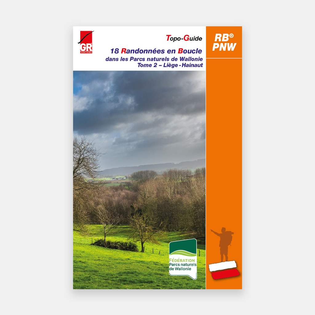
The second volume brings together the 18 RB that journey through the Natural Parks of the provinces of Liège and Hainaut.
Main features
Volume 2:
- 7. PARC NATUREL DES HAUTES FAGNES - EIFEL
7A Around the Walloon Fagne: Pont de Bosfagne 21.2 km (13.9 to 23.7 km)
7B In the foothills of the Eifel: Schönberg 20.6 km (8.7 to 21.3 km)
7C Between the Warche and the forests of Weywertzer and Nidrumer Heck: Nidrum 19.4 km (14.8 km) - 8. PARC NATUREL DES SOURCES
8A Fagne de Malchamps and the springs of Spa: Bérinzenne 19.6 km (12.3 km)
8B La Gleize, the Amblève valley and the deer rut: La Gleize 20.4 km (16.2 to 20.9 km)
8C A hike with many facets: Moulin du Ruy 22.8 km (13.4 km) - 9. PARC NATUREL BURDINALE-MEHAIGNE
9A Farmland as far as the eye can see: Burdinne 22.2 km (12.9 km)
9B Along country paths, from chapels to wayside shrines: Latinne 20.3 km (14.1 km)
9C Quarries and castles: Moha 21.6 km (19.4 km) - 10. PARC NATUREL DES HAUTS-PAYS
10A On a plateau carved by the Grande Honnelle: Angre 20.1 km (17.3 km)
10B Landscape variations: Sars-la-Bruyère 20.3 km (16.5 or 13.5 km)
10C Hauts-Pays, nature, streams and chapel: Blaugies 19.4 km (14.6 km) - 11. PARC NATUREL DES PLAINES DE L'ESCAUT
11A Hike at the Grand Large: Péronnes 17.1 km (15.9 km)
11B Cross-border hike Escaut-Scarpe: Bléharies 19.8 km (18.4 km)
11C Discovering a forested Hainaut: Bon-Secours 20.7 km (18.2 km) - 12. PARC NATUREL DU PAYS DES COLLINES
2A Through the highs and lows of the Collines: Saint-Sauveur 19.3 km (14.9 or 15.9 km)
12B Sunken lanes through sandy-clay soil: Flobecq 20 km (14.1 or 19.2 km)
12C Panoramic wandering: Frasnes-lez-Buissenal 16.4 km (13.4 km)
For many publications, the publisher completes its offering by providing downloadable GPX tracks on its website www.grsentiers.be.





 22.95 €
22.95 €
22.95 €