The Natural Parks of Wallonia represent 33% of the Walloon territory, encompassing 71 municipalities spread throughout Wallonia. These are areas with a distinctive landscape identity, offering visitors a rich and preserved natural environment. As places of rejuvenation and home to numerous walking routes, the Natural Parks now welcome passionate hikers with 36 new loops gathered in 2 topo-guides.
The topo-guides of "Randonnées en Boucle®" (the RB®) offer a format tailored to enthusiasts who enjoy day trips of around twenty kilometres, complemented by variants allowing everyone to adapt their route. These walks are based on the GR® or GR®P trails well known to long-distance hikers. Each province offers a topo-guide featuring 16 RB, some of which double the range of walking discoveries available.
The twelve Natural Parks of Wallonia invite you in turn to explore on foot... Presented in two volumes, 36 RB® will allow you to discover these rural areas and their many facets, to admire without limit the landscapes that unfold before you, this preserved nature, breathtaking panoramas, typical villages and hamlets, the richness of local produce, their heritage, ...
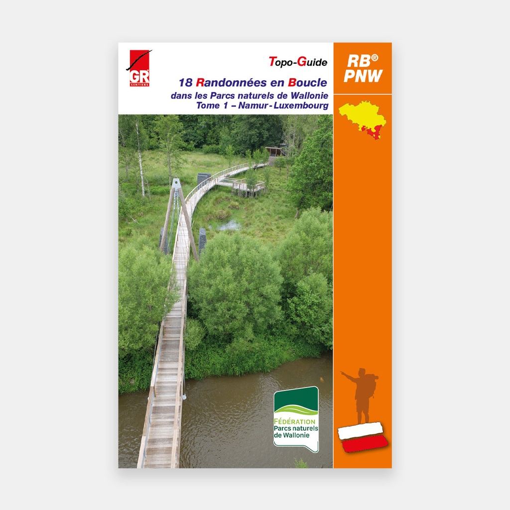
The first volume brings together the 18 RB that traverse the rural and forest paths within the Natural Parks of the provinces of Namur and Luxembourg.
Main features
Volume 1:
- 1. PARC NATUREL VIROIN-HERMETON
1A The escape on the Calestienne: Nismes 24.2 km (11.6 or 19 km)
1B The Ardennes escape: Couvin 22 km (13.2 or 9 km)
1C The fagne escape: Samart 25.1 km (7.1 or 13.2 km) - 2. PARC NATUREL DE L'ARDENNE MÉRIDIONALE
2A Through the Munos valley and the path of the speaking stones: Bertrix 17.2 km (11.4 or 20.8 km)
2B In the Namur Ardennes: Gedinne 24 km (12.5 or 16.6 or 23 km)
2C In the land of the Haute Lesse: Gembes 21 km (from 7.5 to 25.4 km) - 3. PARC NATUREL DE GAUME
3A Leapfrog between sand and limestone right along the border: Gérouville 26.6 km (from 16.7 to 30.3 km)
3B Clash of the titans at the edges of Gaume towards the Ardennes Semois: Lambermont 26.3 km (from 13.9 to 29.7)
3C Invisible water everywhere through the course of history: Saint-Vincent 25.1 km (14.1 to 24.3 km) - 4. PARC NATUREL DE LA VALLÉE DE L'ATTERT
4A A corner of Belgian land nestled within Luxembourg territory: Nothomb 18.6 km (9.4 or 9.7 km)
4B From one tributary of the Attert to another: Post 23 km (12.2 or 19.1 km)
4C Cross-border hike: Tontelange 18.6 km (from 11.2 to 15 km) - 5. PARC NATUREL HAUTE-SÛRE FORÊT D'ANLIER
5A Between the eastern Ourthe and the Wiltz: Bourcy 24.2 km (17.7 km)
5B Between the Sûre and the Anlier forest: Martelange 20 km (11.2 km)
5C Panoramic Léglise: Lescheret 17 km (15.7 or 23.4 km) - 6. PARC NATUREL DES DEUX OURTHES
6A The eastern Ourthe, contrasting landscapes: Limerlé 23.6 km (from 12.6 to 21.6 km)
6B At the confluence of the two Ourthes: Nadrin 20.4 km (18.7 km)
6C Discovering the southern plateau of the PNDO: Givry 23 km (13.5 or 20.5 km)
For many publications, the publisher complements its offering by providing downloadable GPX tracks on its website www.grsentiers.be.





 22.95 €
22.95 €
22.95 €