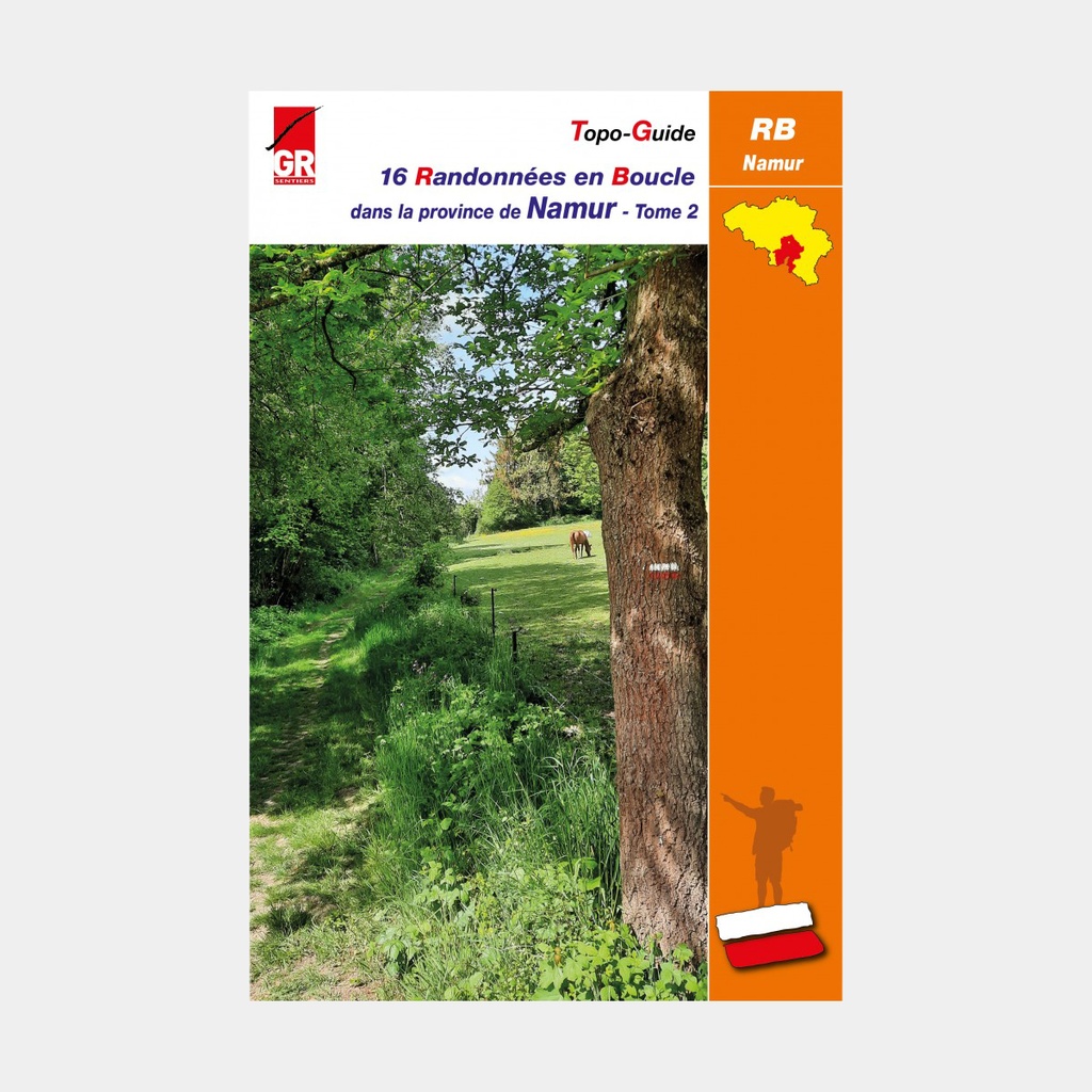
Following the success of the sixteen loop hikes in the province of Namur featured in a first guidebook (volume 1), the Namur team set out to explore sixteen new itineraries that make up the content of this volume 2.
Still built around existing GR® trails, these new loops showcase the heritage of Namur. Traditionally planned around an average of 20 kilometres, with shortcuts available in most cases, these walks form a highly eclectic collection.
All regions are covered: from southern Hesbaye to the Namur Ardennes, the Condroz, the Famenne, the pays des Rièzes, the pays des Sarts, and the pays sambrien.
The valleys of the Meuse basin lend them a particularly special charm, as do all the unnamed streams and rivulets that barely feature in our geography books, yet offer walkers so many natural and enchanting sights: the Meuse, the Lesse, the Burnot, the Semois, the Wimbe, the Eau Blanche and the Eau Noire, the Bocq.
Experienced hikers will find, in these original routes, plenty to fill enjoyable days out. And even less seasoned walkers, or those who wish to discover the joys of hiking without pushing themselves too hard, will find — thanks to the many suggested shortcuts — ways to tailor their outing to their own ambitions.
The loop hikes featured in this guidebook have the distinctive feature of connecting with one of the long-distance trails that criss-cross the province of Namur:
- GR® 12 (Amsterdam - Brussels – Paris)
- GR® 14 (Sentiers de l'Ardenne - from the Eifel to the French Ardennes)
- GR® 16 (Sentier de la Semois)
- GR® 17 (La Lesse Et La Lomme Par Les GR)
- GR® 126 (Brussels - Membre-sur-Semois)
- GR® 129 (Belgium on the diagonal)
- GR® 412 (Sentier des Terrils)
- GR®P 125 (Tour de l'Entre-Sambre-et-Meuse)
- GR®P 161 (Sentiers De L'Ardenne - Tour Du Pays De Bouillon En Ardenne)
- GR®P 575 (Tour du Condroz)
- GR®P 577 (Tour de la Famenne)
- S.A.T. (Sentier des Abbayes Trappistes)
- S.M.A. (Sentier des Monts d'Ardenne)
- GTFPC (Grande Traversée de la forêt du Pays de Chimay)
Each of these walks was designed by a hiker, by one of the volunteers who maintain the waymarking of a GR® trail throughout the year — in other words, by someone who knows every last path in their region inside out.
Discoveries guaranteed!
Main features
For many publications, the publisher completes its offer by providing downloadable GPX tracks on its website www.grsentiers.be.





 22.95 €
22.95 €
22.95 €