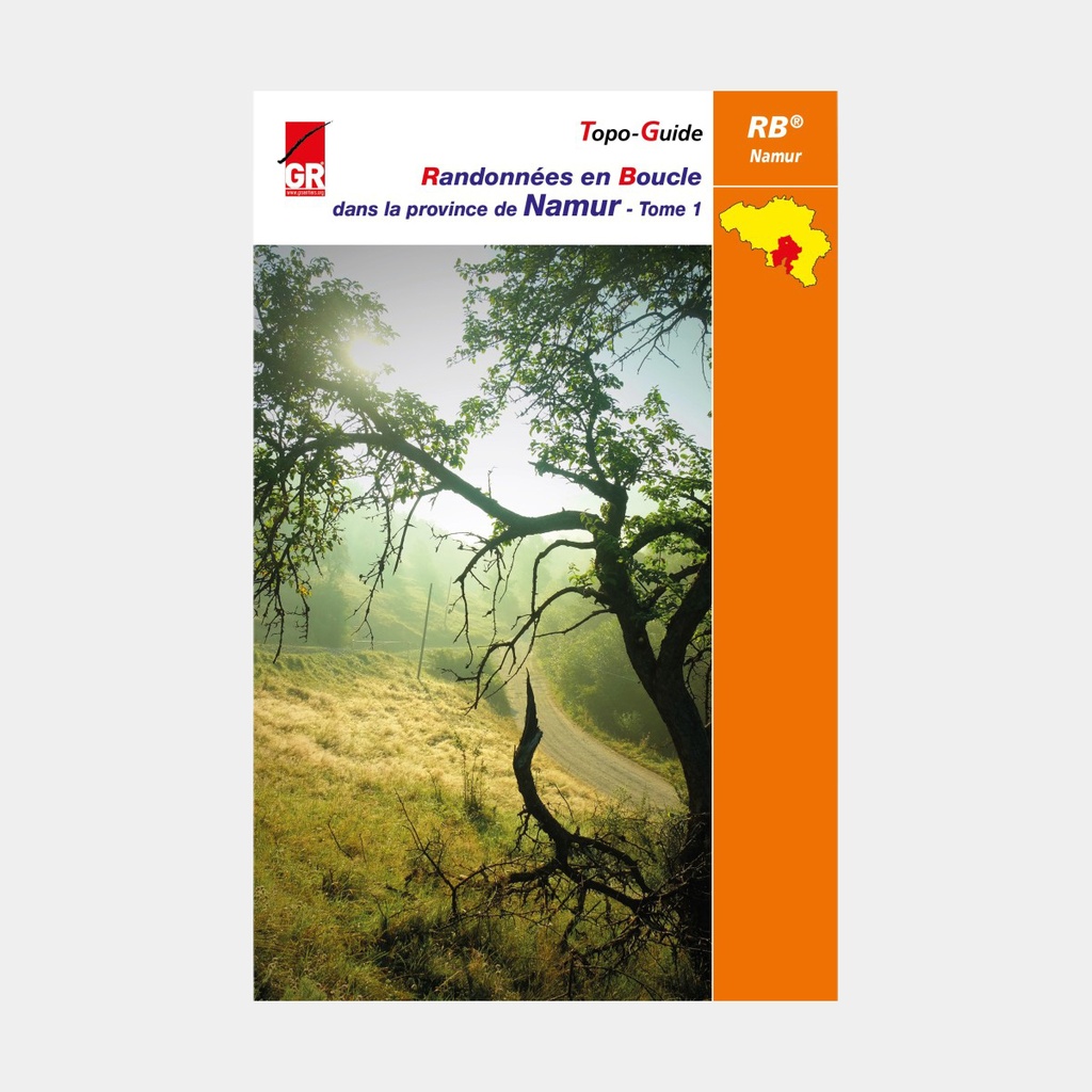
The success of the guidebooks describing loop hikes across our five provinces shows no signs of slowing down, far from it. And this is confirmed for the beautiful province of Namur as well, rich in its many "most beautiful villages of Wallonia," with its wonderfully varied landscapes, its pretty rivers nestled in secret valleys, its medieval citadels and castles, its distinctive terrain, its mysterious underground...
Indeed, after the 2014 edition quickly sold out, the teams returned to the field to prepare this fourth edition, even more comprehensive than its predecessors. It covers in 144 pages the familiar routes, which have nonetheless undergone some modifications. In particular, the loops affected by the new profile of the GRP 125 (GR de Pays du Tour de l'Entre-Sambre-et-Meuse), now marked in yellow and red. The RBs of Hastière, Soulme, Treignes, Nismes, Walcourt and Hanzinelle are described according to this new-look marking. Moreover, most of these routes follow here and there the new, more bucolic itineraries of the GRP 125.
Two new features further confirm that this fourth edition stands apart from its earlier counterparts: the direction of RB 12 from Treignes is reversed, and RB 14 departing from Walcourt is brand new. We should also add that the descriptions are newly illustrated.
Main features
- Route description (only the GR section is marked)
- Mileage of each hike (+ shortcuts) and intermediate distances
- Cultural and tourist commentary
- Cartography
- Where to find refreshments and food
- Useful information
- General map at 1:250,000 (with location and outline of the various hikes)
- Maps at 1:50,000 with the route
For many publications, the publisher completes its offering by providing downloadable GPX tracks on its website www.grsentiers.be.





 22.95 €
22.95 €
22.95 €