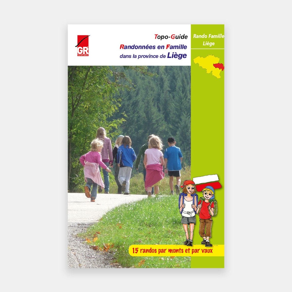
14 of the 15 hikes featured in the previous edition have been reworked and one (the 13th) has been replaced by a brand new one, starting from Wavreumont. This small guide once again takes walking enthusiasts along trails marked with white and red as well as those marked with yellow and red, or along other numerous and varied paths in the province of Liège.
This time, GR Sentiers offers for each location visited, a short loop (from 4.7 to 11.2 km) and a longer one (from 10.2 to 17.2 km), with, in addition, a medium loop of 9 km for hike no. 11 at the Gileppe dam.
The novelty of this guide is its focus on the short loop first. Given the relief of the Liège landscape, some loops feature significant inclines, which are indicated at the beginning of the description. Intended as an introduction to hiking, and who knows... perhaps one day to long-distance hiking, this topo-guide is aimed particularly at young (pre)teenagers and their parents.
So that the term introduction takes on its full meaning, GR Sentiers has included, for each hike, one or two "green" information sheets. These will help younger hikers discover various aspects of the nature encountered during these escapades through hill and dale. Numerous photos of birds, mammals, flowers, plants, ... enhance each of these sheets.
Finally, the icing on the cake: at the end of each hike, you can enjoy as a family the pleasant pleasure of relaxing or learning by discovering the riches of Wallonia's cultural heritage. Indeed, near the finish point, there is always one or more cultural or recreational points of interest to explore.
To all the families who will venture forth, happy trails on the Liège loops.
Main features
The 15 hikes:
- Saint Peter's Mountain: Fort d'Eben-Emael 7.5 km (13.8 km)
- In a former mining region: Blegny-Mine 7.6 km (11.5 km)
- Through country lanes: Wégimont 7.6 km (12 km)
- Between Ourthe and Amblève: Comblain-au-Pont 8.9 km (12.6 km)
- Along the Lembrée and the Ourthe: My 11.2 km (17.2 km)
- In the land of castles: Harzé 7.1 km (12.8 km)
- Between the Condroz and the Ardennes massif: Deigné 4.7 km (11 km)
- The castle of Franchimont: Franchimont 5.6 km (10.8 km)
- In the Staneu forest: Tiège 9.3 km (14.1 km)
- Malchamps and the Roannay valley: Bérinzenne 8.6 km (15.2 km)
- At Lake Gileppe: Barrage de la Gileppe 7.1 km (12.6 km)
- A cross-border hike: Küchelscheid 6.8 km (12 km)
- Between Warche and Amblève: Wavreumont 7.1 km (10.2 km)
- On the ridges of the Amblève: Stavelot 6 km (11.3 km or 9.1 km)
- Zigzagging through the Rechterbach valley: Recht 10 km (12 km)
For many publications, the publisher completes its offering by providing downloadable GPX tracks on its website www.grsentiers.be.





 22.95 €
22.95 €
22.95 €