These highly accurate topographic maps contain all the details existing in the field, marked trails and tourist information.
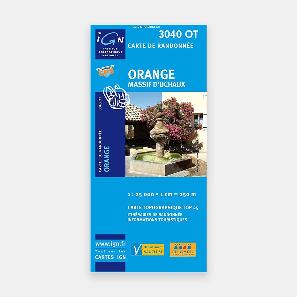
The essential IGN 3040OT hiking map. With very high accuracy, it contains all the existing details on the terrain: roads and paths down to the smallest trail, buildings down to the smallest barn, woodland, isolated trees, rivers, springs...
Not forgetting the representation of relief through contour lines. Marked trails and tourist information are also shown.
Towns covered: Orange, Laudun-l'Ardoise, Chusclan, Orsan, Saint-Étienne-des-Sorts, Suze-la-Rousse, Rochegude, Bouchet, Sainte-Cécile-les-Vignes, Mondragon, Lamotte-du-Rhône, Lapalud, Vénéjan, Piolenc, Codolet, Caderousse, Mornas, Bollène, Pont-Saint-Esprit, Massif d'Uchaux
Places to discover: Archipel des Îles aux Faisans, Arc de Triomphe, Parc Alexis Gruss, Musée du vin, l'Harmas, Barry (Village Troglodytique), Belvédère, Château de l'Hers, Château le Castellas, Chapelle St-Martin, Notre-Dame de Mayran, Château, Centre Atomique de Marcoule, Théâtre antique
Main features




 10.76 €
14.40 €
-25%
10.76 €
14.40 €
-25%