These highly accurate topographic maps contain all existing field details, marked trails and tourist information.
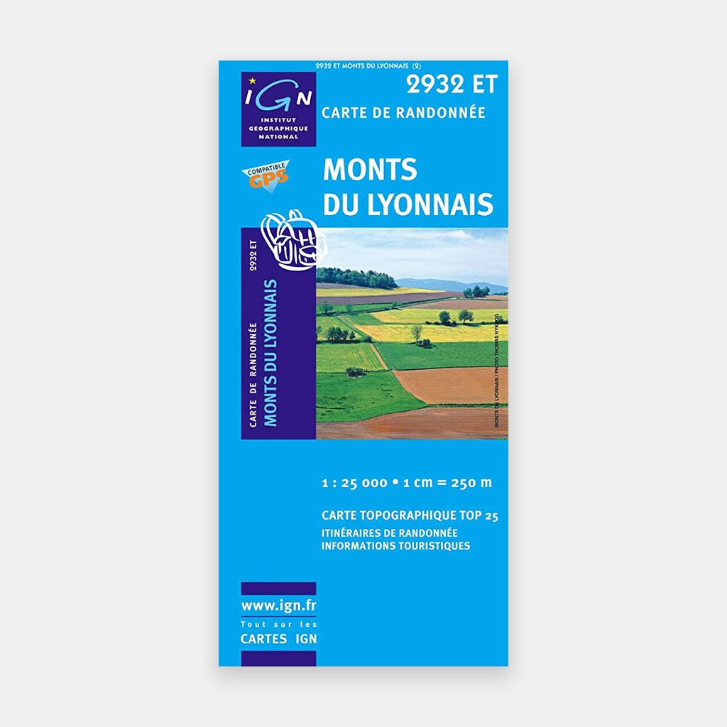
The essential IGN 2932ET hiking map. With its very high level of accuracy, it contains all existing field details: roads and routes down to the smallest path, buildings including barns, woodland, isolated trees, rivers, springs...
Not forgetting the terrain representation through contour lines. Marked trails and tourist information are also shown.
Communes covered: Riverie, Saint-Romain-en-Jarez, Cellieu, Mornant, Duerne, La Chapelle-sur-Coise, Saint-Martin-en-Haut, Saint-André-la-Côte, Thurins, Rontalon, Coise, Larajasse, Chaussan, Sainte-Foy-l'Argentière, Messimy, Montromant, Haute-Rivoire, Pomeys, Chazelles-sur-Lyon, Saint-Christo-en-Jarez, Saint-Symphorien-sur-Coise, Chabanière, Rive-de-Gier
Places to discover: Parc naturel du Pilat, Signal de St-André, Monts du Lyonnais, Château de Saconay, Château de Malval, Aqueduc romain, Musée du chapeau
Main features




 10.76 €
14.40 €
-25%
10.76 €
14.40 €
-25%