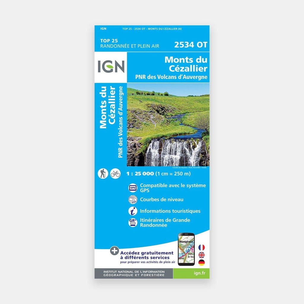
These highly accurate topographic maps contain all the details found on the terrain, marked trails and tourist information.
The essential IGN hiking map
2534OT
With very high accuracy, it contains all the existing details on the terrain: communication routes down to the smallest path, buildings down to the barn, woods, isolated trees, rivers, springs...
Not forgetting the representation of relief through contour lines. Marked trails and tourist information are also shown.
Towns covered: Monts du Cézallier, PNR des Volcans d'Auvergne, Condat, Saint-Bonnet-de-Condat, Chanterelle, Vernols, Égliseneuve-d'Entraigues, Compains, Vèze, Anzat-le-Luguet, Marcenat, Montgreleix, Saint-Saturnin, Ségur-les-Villas, La Godivelle, Pradiers, Landeyrat, Allanche, Lugarde, Peyrusse, Molèdes
Places to discover: Parc naturel régional Volcans d'Auvergne, Lac Chauvet, Puy de Montcineyre, Montagne de Janson, Signal du Luguet, Roche Grande, Puy de Mathonière, la Chaux d'Espinchal, Monts du Cézallier, Mont Chamaroux, Gges de la Santoire, Vallée de la Sianne, Vallée de Rentière, Château de Peyrelade, Buron de Chaussiguié-Haut, Cascade, Château de Combes, St-Julien-de-Chanet, Réserve Naturelle du Rocher de la Jaquette, Réserve Naturelle des Sagnes de la Godivelle, Cascade de Veyrines
Main features