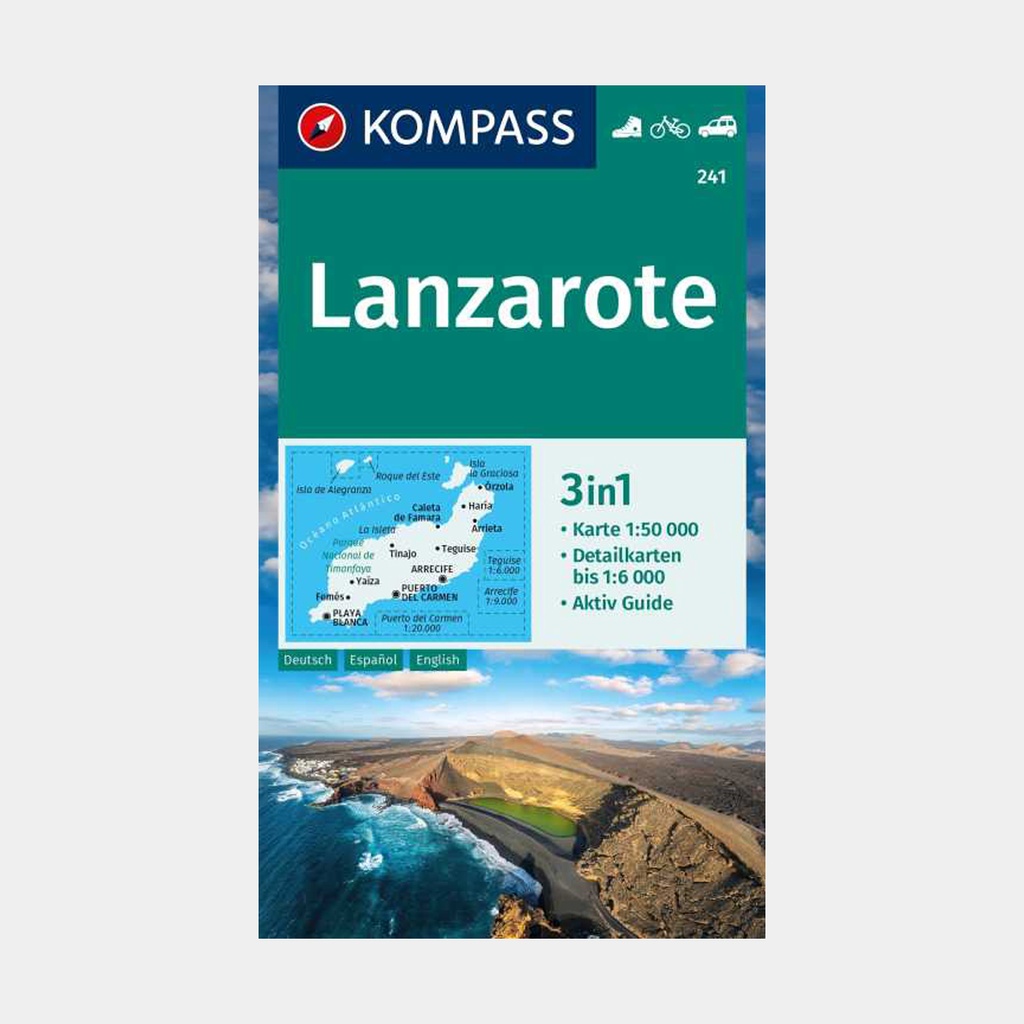
The hiking map is equipped with an additional panorama.
The Aktiv Guide informs you about outdoor topics and the free app for navigation is included as well. This provides the ideal basis for planning a hike. The precise cartography shows all hiking routes, including their classification.
Information such as swimming pools, via ferratas, children's playgrounds, mountain huts and much more are also included on the map. Thanks to the tear-resistant and weatherproof paper quality, the map is a reliable companion in all weather conditions.
KOMPASS maps, GPS-accurate, are perfect for your next visit! The user-friendly scale and useful information about the region make your planning easier.
Each map contains everything the outdoor enthusiast needs to know: hiking trails and cycling routes with markings according to difficulty level, corresponding contour lines and vegetation types, as well as comprehensive tourist information.
Main features





 15.80 €
15.80 €
15.80 €