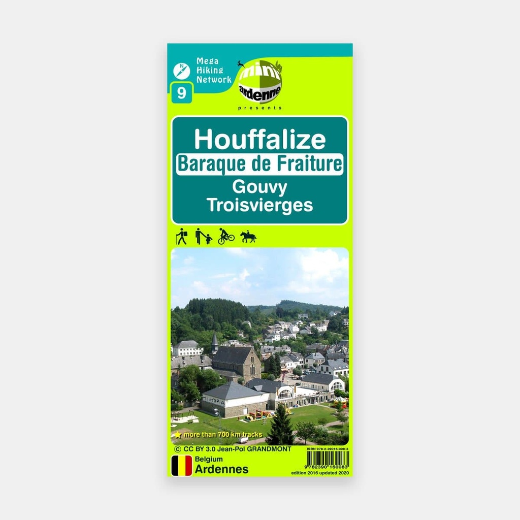
This map is truly ideal for discovering the course of the Ourthe Orientale and its entire surrounding region.
From its source at Ourthe, not far from Gouvy, it winds into the forest in the direction of Houffalize via the Lac de Chérapont and the Moulin de Bistain.
It then continues its course between Achouffe on the northern slope (a very interesting small village with its brewery and fish farms, as well as its beautiful walks that follow the course of the Chevral and Martin Moulin streams) and Engreux on the southern slope with its sports centre nestled in the heart of the forest. It meets the Ourthe Occidentale a little further downstream at the Deux Ourthes (on the La Roche map).
Another interesting feature of the map: the Ravel trails of the former railway line 163 that once connected Gouvy to Bastogne. But also that of the former local tramway route 613 that linked Houffalize from Bourcy (which appears on the Bastogne map and connects just below it).
The map extends to the northwest as far as the Baraque de Fraiture. This location, situated at a summit of 652 m altitude — the third highest point in Belgium — is more suited to skiers than hikers. But not far from there, for the latter, the Plateau des Tailles offers a landscape with rather unexpected high-fen connotations that this map allows you to discover, particularly around Pisserotte and Bihain, a small village located on the eastern edge of the municipality of Vielsalm.
The southern part of the map is equally interesting, where you can discover from west to east the villages of Vissoule, Tavigny and its château, ending beyond the Luxembourg border at Troisvierges.
Eager to thoroughly explore the wonderfully relaxing region of the Ourthe Orientale, dotted with numerous hiking trails? Head to the shop quickly to purchase this brand new version of our map!!
Main features
- Scale 1:25.000
- In French, Dutch, German
- Route on foot, family, mountain bike, on horseback