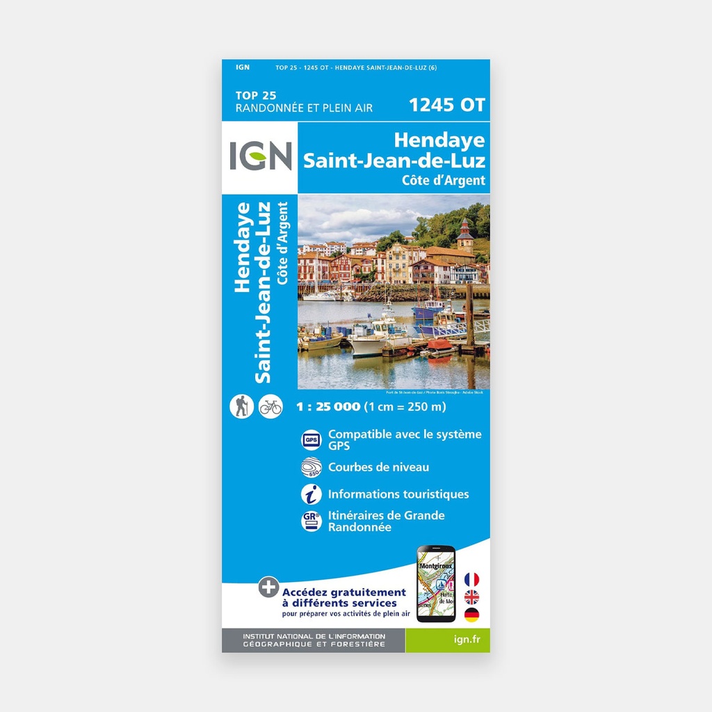
These highly accurate topographic maps contain all the details found on the ground, marked trails and tourist information.
The essential IGN 1245OT hiking map. With very high accuracy, it contains all the details found on the ground: roads and paths, buildings including barns, woods, isolated trees, rivers, springs, as well as terrain representation through contour lines.
Marked trails and tourist information are also shown.
Towns covered: Ciboure, Arbonne, Ahetze, Ascain, Espelette, Hendaye, Ustaritz, Guéthary, Biriatou, Arcangues, Larressore, Saint-Pée-sur-Nivelle, Ainhoa, Urrugne, Sare, Saint-Jean-de-Luz
Places to discover: Lac de St-Pée, Atxuria, la Rhune, Ibanteli, Col de St-Ignace, Xoldoko Gaina, Ziburumendi, Manddale, Pointe de Ste-Barbe, Vallée de la Bidassoa, la Corniche, Pointe Ste-Anne, Cap du Figuier, Abbayeadie, Fort, Tr, Maison Louis XIV, Pont, Base de loisirs, Grottes de Sare, Urtubie, Ermitage de St-Martial, Château, Sokorri
Main features