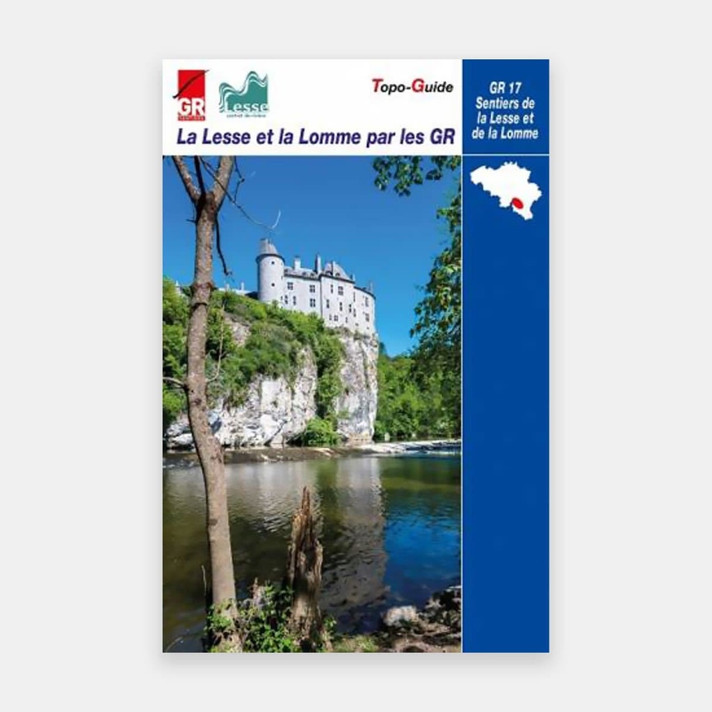
Prepared in friendly collaboration with the River Contract, this new topo guide takes you to discover the Lesse basin, along the brand new GR 17 "Sentiers de la Lesse et de la Lomme".
Following, most often closely, the Lesse from its hidden source in the scrubland near Ochamps to its confluence at Anseremme, and the Lomme from Lommal to Éprave where it joins the Lesse, will take you through the Ardenne, the Calestienne, the Famenne and the Condroz.
In addition to the GR 17, ten loops have been added to help you discover almost the entire Lesse basin. Unmarked but described with precision, they are linked both to a section of the GR 17 and to a river, a tributary of the Lesse or the Lomme. They will take you along the banks of the Our, the Almache, the Wéri, the Wimbe, the Hileau, the Marsolle, the Masblette…, climbing up the Griffaloux, dreaming before the castles of Walzin or Vêves…
Between the GR 17 and the ten loops, a total of 361.4 kilometres of trails are described in this topo guide!
As in all topo guides, the route descriptions are accompanied by numerous tourist, cultural and scientific notes. While the emphasis is placed on hydrology and geology, history enthusiasts, ichthyologists, human geographers, and others will also find plenty to interest them.
One special feature. To avoid making the guide unnecessarily bulky, many of these notes are accessible on smartphones via QR codes. You will also find them on the websites of the SGR and the CR Lesse.
Listing all the exceptional places encountered along the GR 17 or the ten loops is hardly possible, there are so many of them. Among the best known are Mirwart, Rochefort, Han-sur-Lesse… but also the Aiguilles de Chaleux, the resurgence of the Lomme, the Lesse Rapids, the castles of Walzin, Ciergnon, Vêves…. And other more discreet, yet no less enchanting places: the villages of Our, Maissin, Porcheresse… the Marsolle furnace, the Freÿr rocks, the Bois du Roi, the Wéri belvedere or the heights of Gendron from which breathtaking landscapes unfold.
Main features
- Distance : Libramont - Anseremme (101 km) GR 17 - Sentier de la Lomme : Libramont - Éprave (60,4 km) + Ten loops
For many publications, the publisher completes its offer by providing downloadable GPX tracks on its website www.grsentiers.be.





 22.95 €
22.95 €
22.95 €