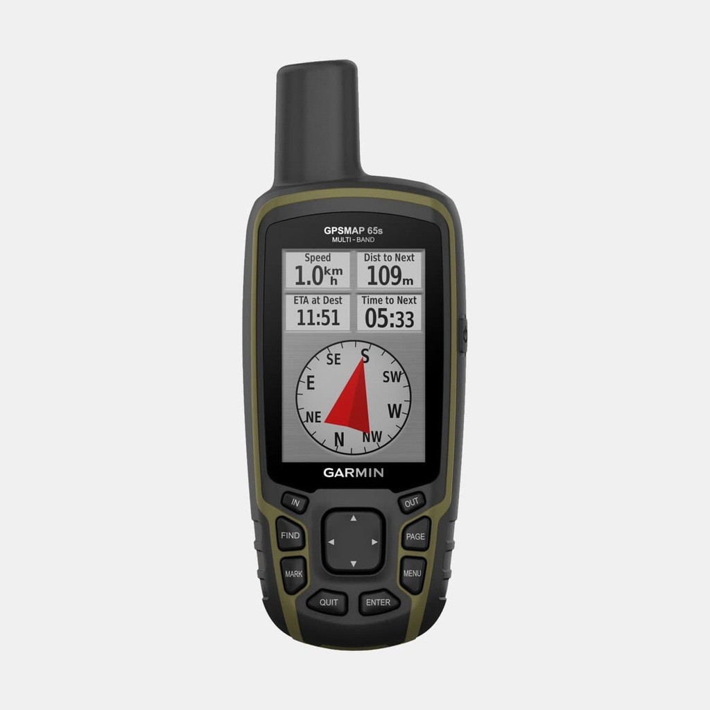
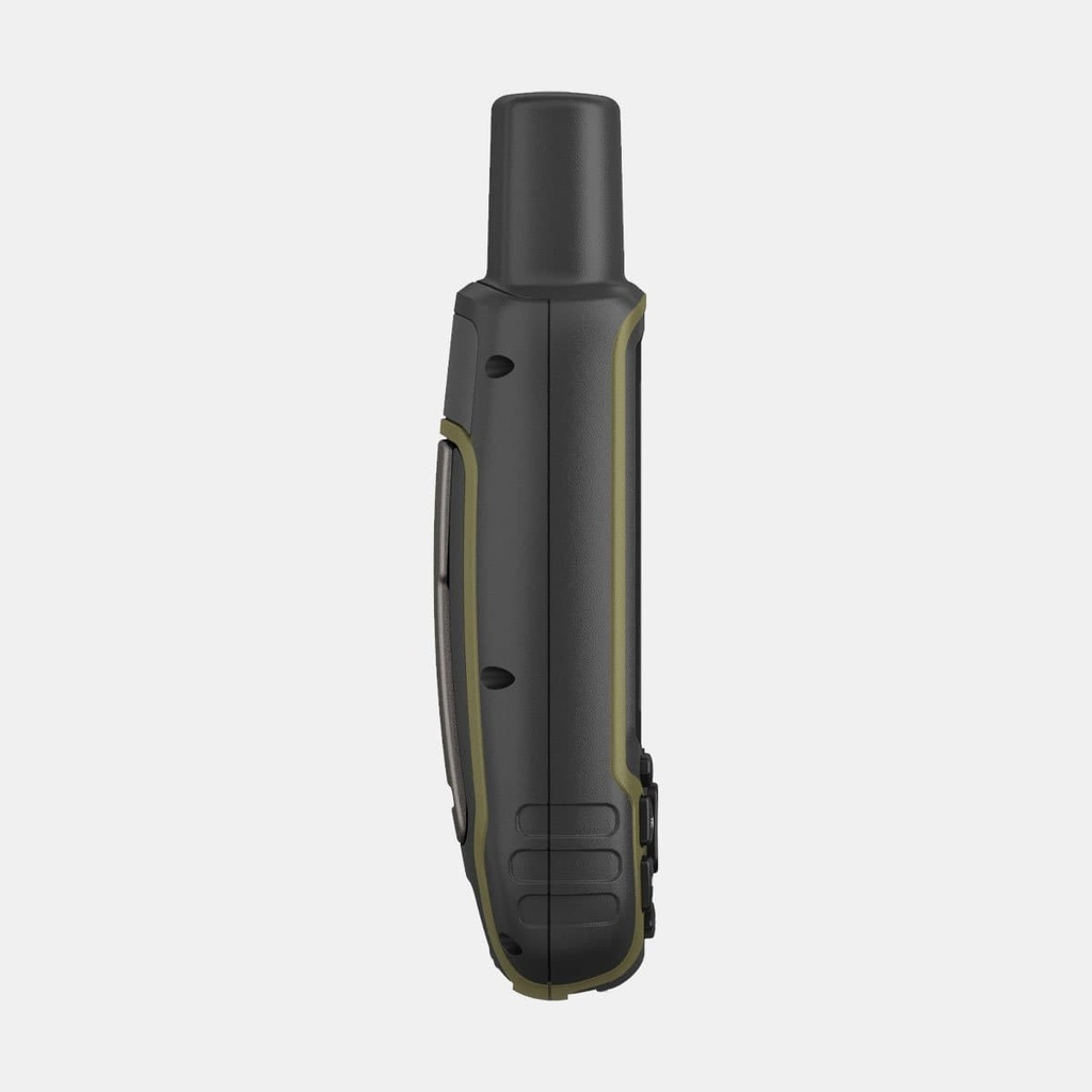
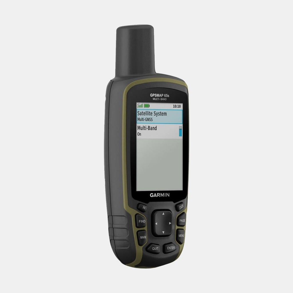
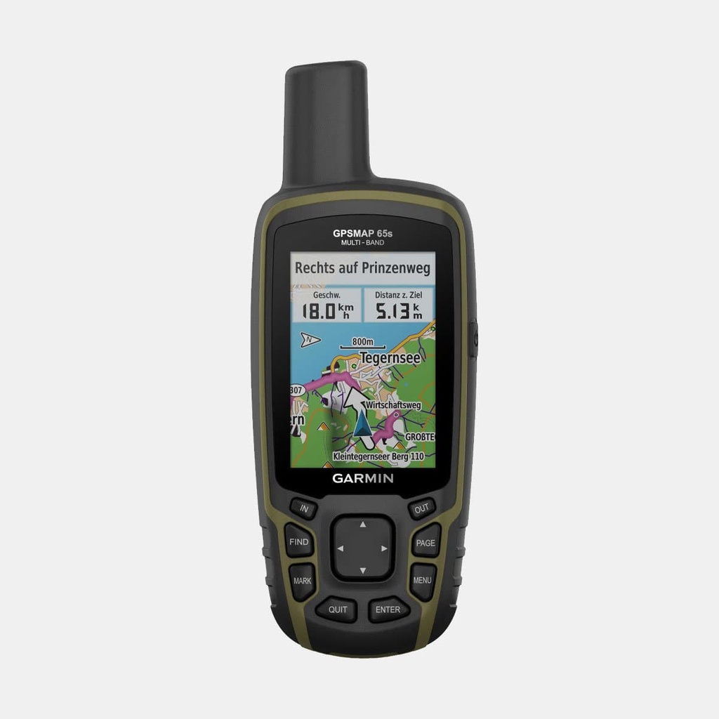
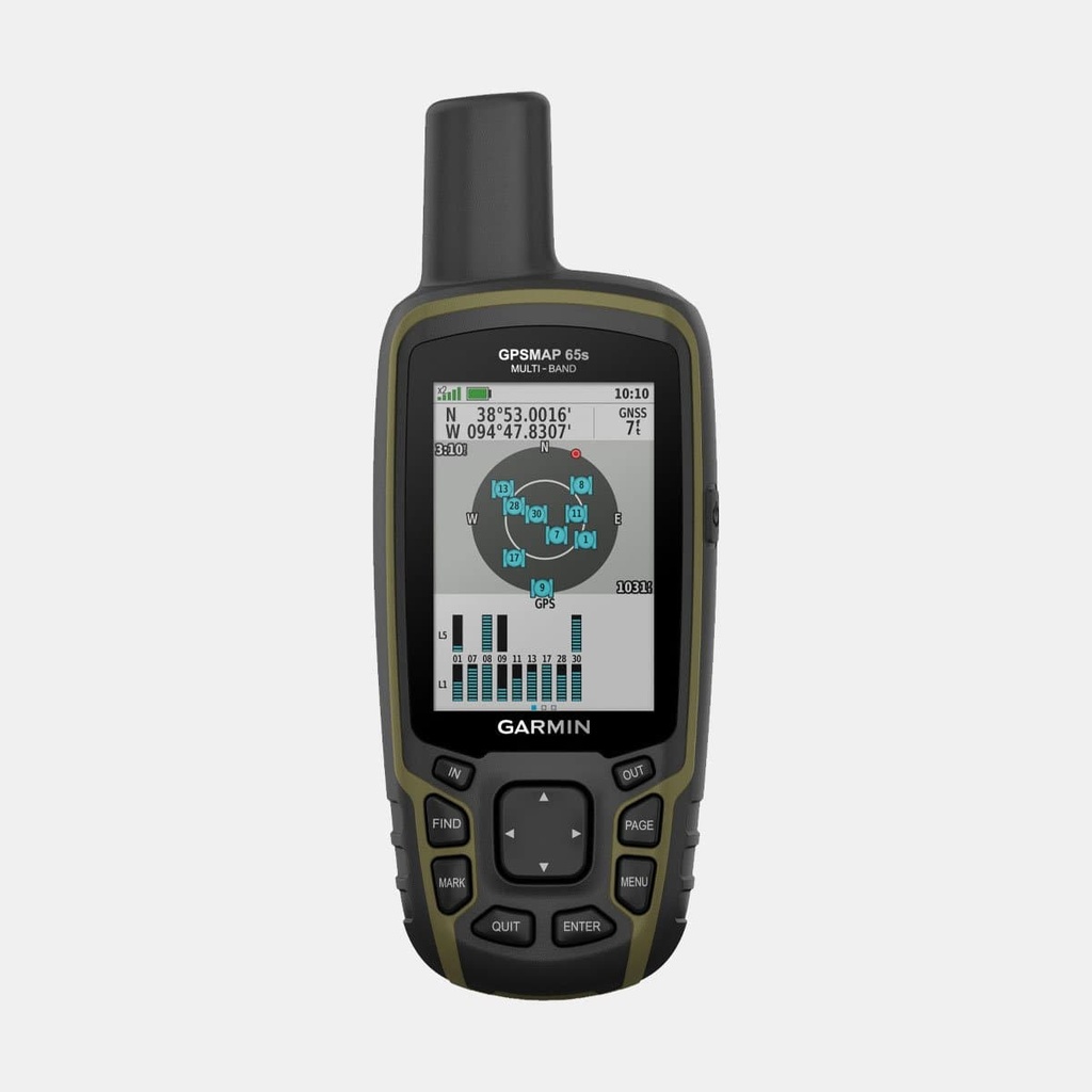
Robust and precise, the GPSMAP 65s ensures you never lose your bearings, whatever activity you're engaged in: hiking, hunting, climbing, kayaking or mountain biking.
Anti-glare colour screen for perfect readability:
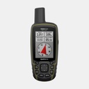
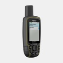
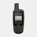
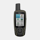
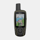
The GPSMAP 65s features a 2.6-inch transflective, anti-glare colour screen: map reading is made easier, even in blinding sunlight. The highly practical buttons offer quick and simplified operation.
Ultra-precise navigation to handle the unexpected:
To guarantee optimal accuracy in the most remote areas, the GPSMAP 65s supports five satellite systems: GPS, GLONASS, Galileo, QZSS, IRNSS.
The ABC sensors, which include altimeter and barometric functions along with a 3-axis self-calibrating compass, give you an excellent understanding of upcoming conditions, allowing you to adapt in real time to the unexpected. And to enjoy reliable and safe navigation routes, a TopoActive Europe map comes pre-installed on your GPSMAP 65s.
Stay in touch with your loved ones, stay connected!
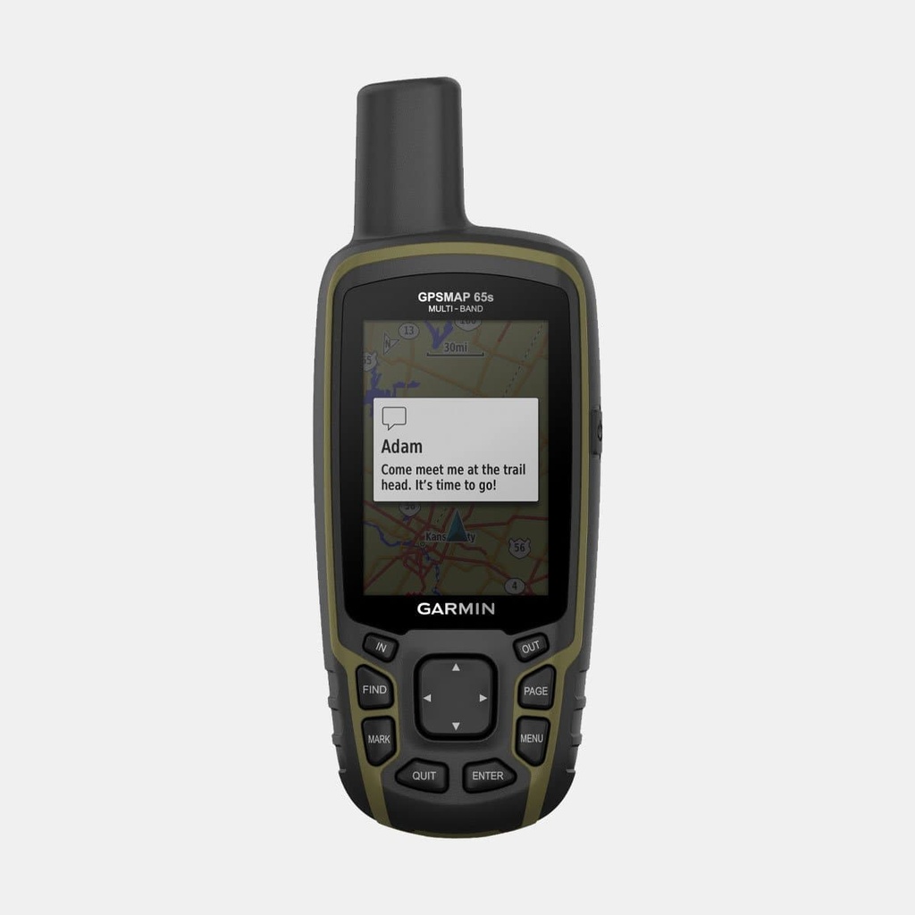
Receive your messages directly on the GPS and stay connected to your loved ones with Smart Notifications. Take advantage of 16 GB of internal memory or add a Micro SD card to store even more maps on your device. Plan or review your routes directly on your smartphone or computer with the Garmin Explore app.
Up to 16 hours of battery life in GPS mode.
Main features
- navigation sensors: GPS, GLONASS, Galileo, QZSS, IRNSS
- other sensors: barometric altimeter, 3-axis compass with tilt compensation, GPS heading compass while moving, multi-band
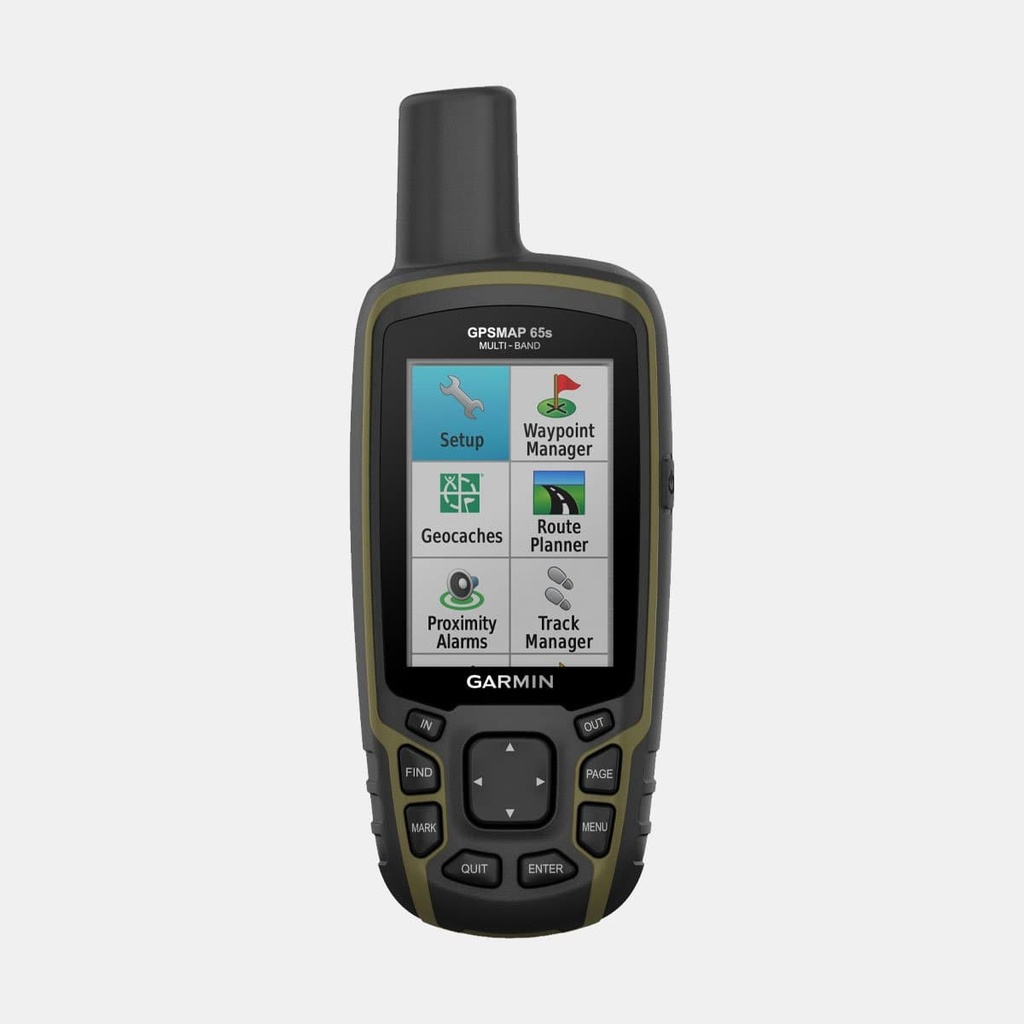
- outdoor leisure functions : point-to-point navigation, Basecamp compatible, area calculation, hunting/fishing calendar, moon/sun information, geocache mode (paperless), jpeg viewer, custom maps compatible (500 custom map areas)
- Daily smart functions: smart notification on wearable device, virb remote control
- preloaded maps: topoActive Europe; routable roads
- ability to add maps
- automatic route calculation (turn-by-turn routing function)
- map segments: 3000
- birdseye: 250 BirdsEye images
- includes detailed hydrographic features (coastal outlines, lake and river banks, marshes and seasonal and permanent waterways)
- includes points of interest with search function (parks, campsites, viewpoints and picnic areas)
- displays national, federal and local parks, forests and nature parks
- waypoints: 5,000
- tracks: 200
- track log: 10,000 points, 200 saved tracks
- routes: 200, 250 points per route; 50 automatic route calculation points






 449.95 €
449.95 €
449.95 €