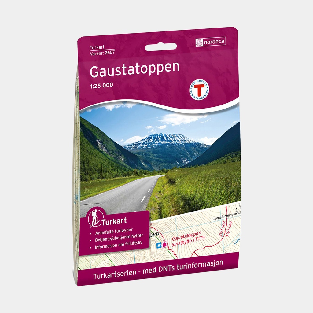
Relief indicated by contour lines - 20m intervals
Detailed vegetation cover and terrain type
Hiking trails marked by "The Norwegian Trekking Association (DNT)"
Ski touring routes (and cycling routes on certain maps)
Road network with service stations, rail network, ferry lines
Hotels, campsites, mountain huts, restaurants
Tourist information on the back of the map in Norwegian
GPS compatible - 1km UTM grid (WGS84).
Main features
- Place names on the map: Gaustatoppen, Måna, Rjukan