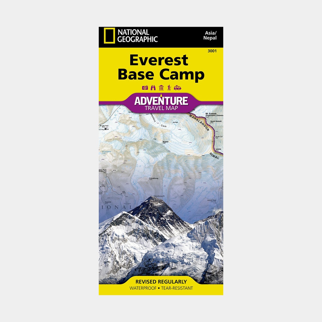
This expert-researched map covers with unparalleled detail the region stretching from the town of Lukla, through Sagarmatha National Park to the south base camp of Mount Everest located in Nepal, including major and minor trekking routes, topographic information and points of interest.
The neighboring Makalu Barun National Park is covered with sections of the Mahalangur, Hinku and Kyashar himals and the Sino-Nepali border. An index of places, passes, lakes and summits, including Mount Everest, will help you find both destinations and obstacles throughout your adventure.
Topographic information such as contour lines, elevations, mapped summits and passes, water features, glaciers and wooded areas will assist you in your navigation.
Other identified features include airports, campsites, accommodation establishments, temples, monasteries, chortens, caves, waterfalls, hot springs and settlements. A multilingual legend (in English, German, French and Italian) will facilitate your communication with international explorers.
The reverse side displays a map of Nepal in its entirety along with inset maps of the Kathmandu region and the Thamel district.
These inset maps show roads, hotels, embassies and consulates, police stations, banks, shopping complexes, hospitals and places of worship. General information on visiting and trekking in Nepal is also included.
Each adventure map is printed on durable synthetic paper, making them waterproof, tear-resistant and resilient - capable of withstanding the rigors of international travel.
Main features





 15.95 €
15.95 €
15.95 €