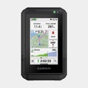
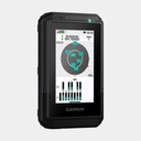
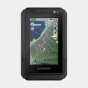
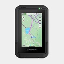
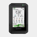
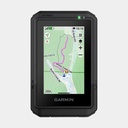
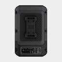
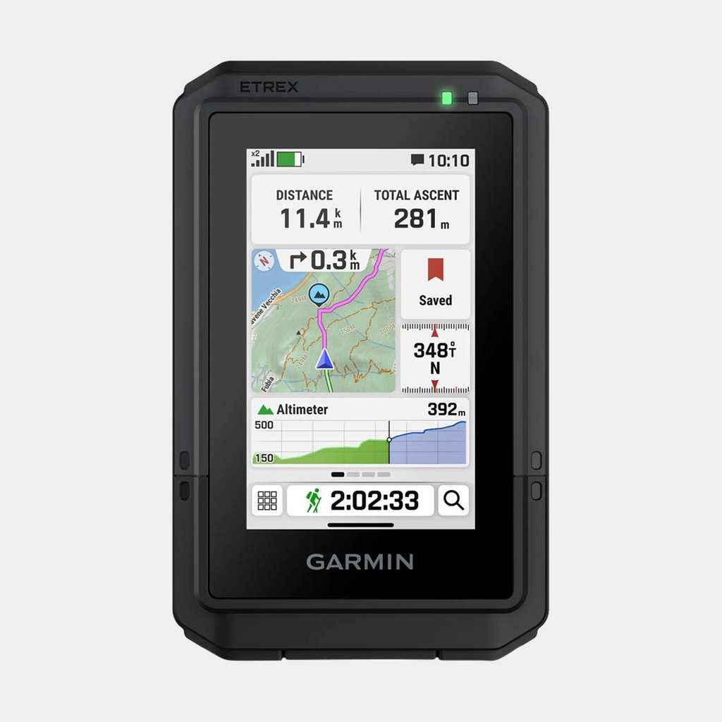
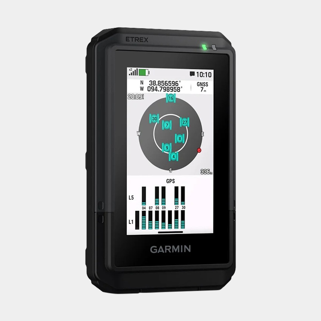
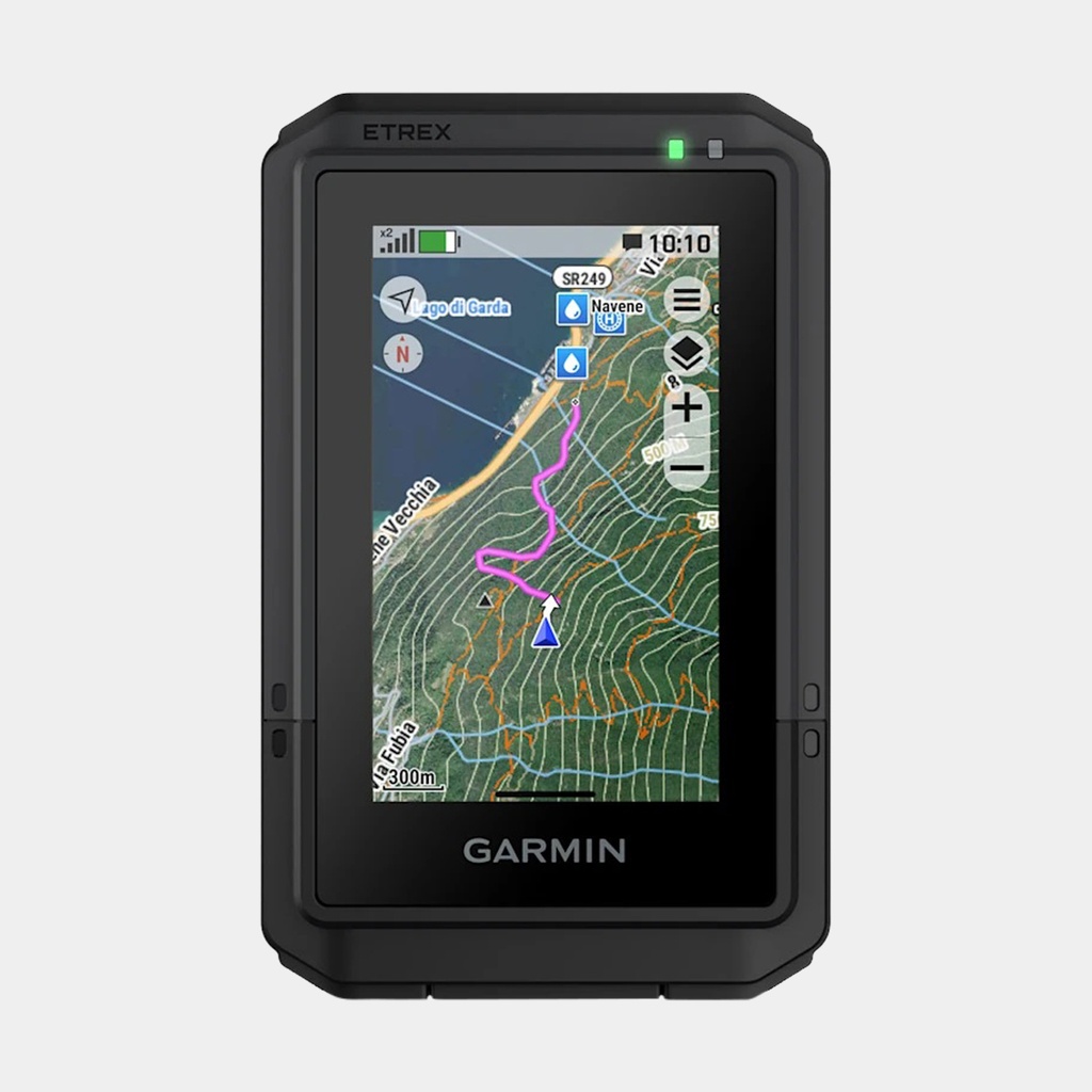
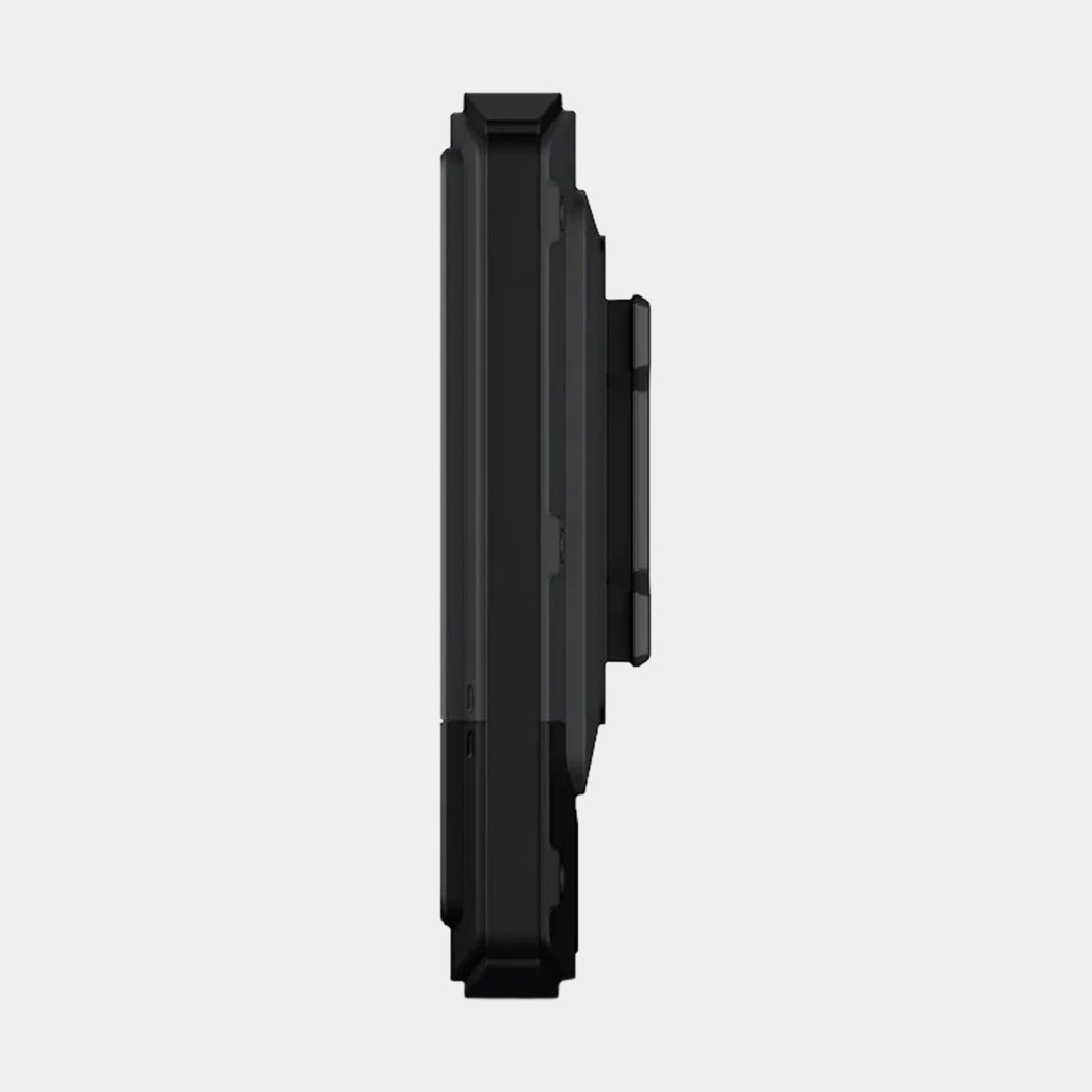
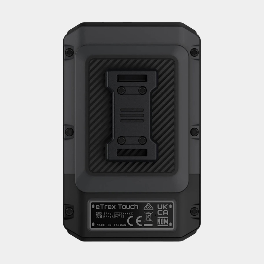
This portable touchscreen GPS with essential functions includes preloaded TopoActive maps with trails and roads for your outdoor adventures. In addition, its rugged design and long battery life allow you to make the most of all your outdoor activities.
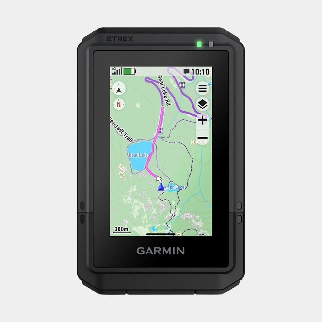
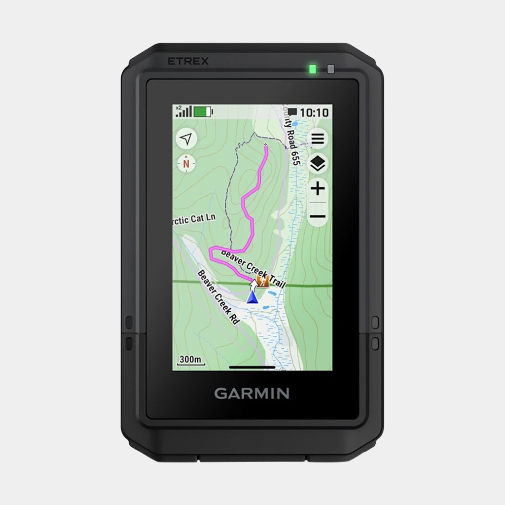
This compact portable GPS is equipped with a bright, high-resolution 3″ color touchscreen on which you can zoom and navigate with your finger to easily follow your route.
The eTrex Touch portable device is designed to withstand the most demanding conditions, with an IP67 water resistance rating and shock resistance compliant with MIL-STD-810 standards.
Display detailed TopoActive maps for roads and trails, and view contour lines, topographic elevation changes, summits, parks, rivers, lakes and geographic points, as well as thousands of points of interest. Also easily access additional TopoActive maps for the entire world.
Subscribe to an Outdoor Maps+ subscription to enjoy continuous access to a wide variety of premium map content, including satellite imagery, campsites and much more. Download and automatically receive updates via Wi-Fi® technology.
Connect to Garmin Explore to plan your route and view your data on a smartphone or tablet, as well as to manage your waypoints, routes and activities.
Subscribe to an Outdoor Maps+ subscription to enjoy continuous access to a wide variety of premium map content, including satellite imagery, campsites and much more. Download and automatically receive updates via Wi-Fi® technology.
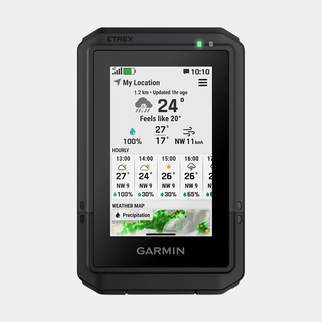
Get real-time forecast information to stay informed about changing conditions. This feature requires an active Internet or Wi-Fi connection or the use of the Garmin Explore app on your paired smartphone.
Main features
-
Enjoy a battery life of up to 130 hours in All Systems satellite (multi GNSS) + multi-band mode (under normal use with SatIQ™ technology), and up to 650 hours in expedition mode
- Thanks to multi-band GPS and multiple GNSS support, you access multiple satellite frequencies for superior positioning accuracy
- The popular route generator helps you take the best trails, while the round-trip routing feature suggests routes suited to the distance you want to cover, with a guaranteed return to your starting point
- Anticipate climbs on your route: visualize their location, distance, and gradient
- Navigate with the digital compass, which provides an accurate heading even when stationary
- Get updates on geocaching adventures from Geocaching Live, including descriptions, logs, and hints. When your device is connected to the Garmin Explore app on your compatible smartphone, each found cache is automatically added to your geocaching.com profile
- Easily share saved locations and routes with your friends' compatible Garmin devices
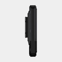
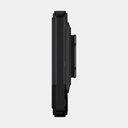
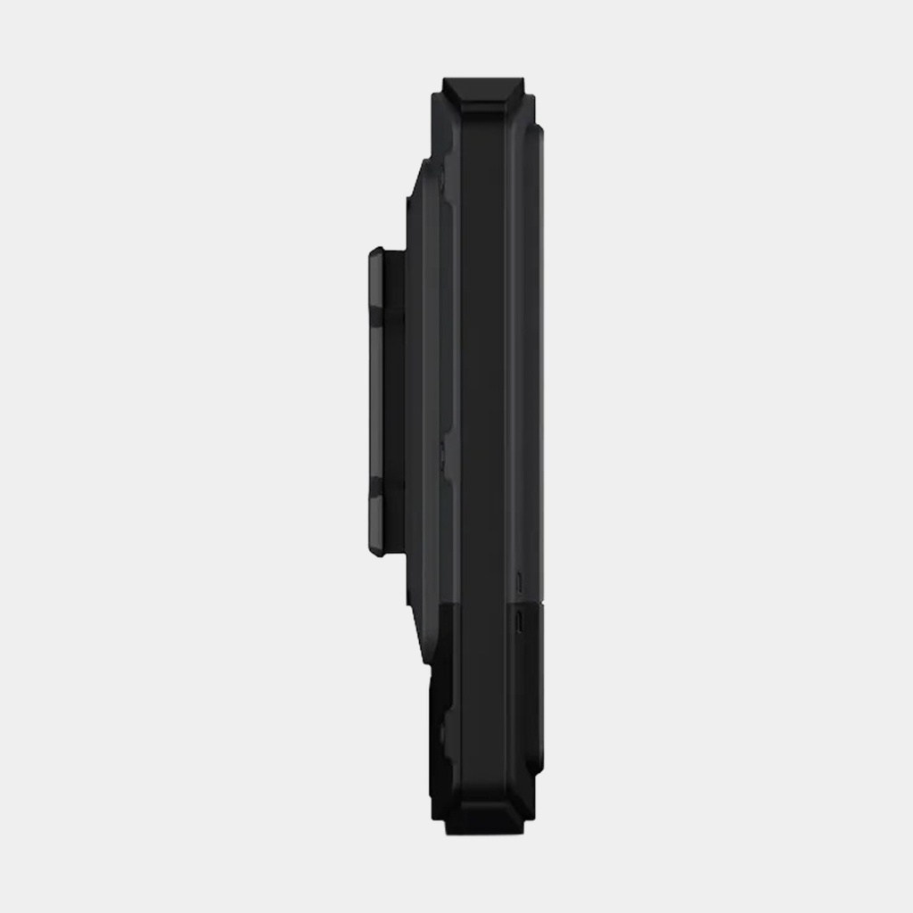
- The device includes an integrated Spine Mount 2 mount and remains compatible with other accessories (sold separately)
 449.95 €
449.95 €
449.95 €