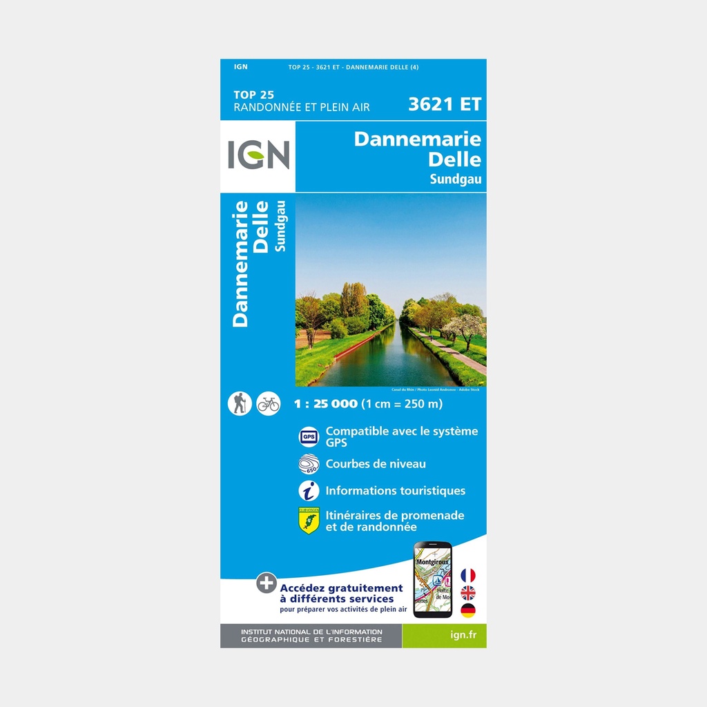
These highly accurate topographic maps contain all existing details on the terrain, marked trails and tourist information.
The essential hiking map IGN 3621ET. With very high accuracy, it contains all existing details on the terrain: roads and paths down to the smallest trail, buildings including barns, woods, isolated trees, rivers, springs...
Not forgetting the representation of relief through contour lines. Marked trails and tourist information are also shown.
Towns covered: Leval, Magny, Petit-Croix, Joncherey, Florimont, Lacollonge, Bisel, Morvillars, Bethonvilliers, Thiancourt, Chavannes-sur-l'Étang, Lagrange, Liebsdorf, Felon, Foussemagne, Badevel, Autrechêne, Froidefontaine, Cunelières, Saint-Germain-le-Châtelet
Places to discover: Parc naturel régional du Ballons des Vosges
Main features




 11.06 €
15.80 €
-30%
11.06 €
15.80 €
-30%