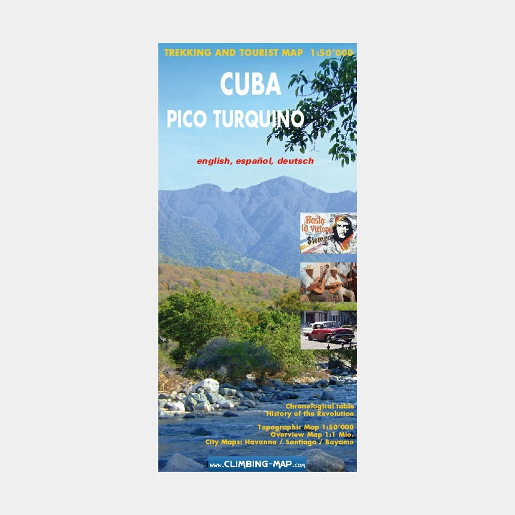
Pico Turquino, the highest mountain in Cuba, and the surrounding peaks and villages of the Sierra Maestra at 1:50,000 on an excellent map from Swiss publisher Climbing Map.
A profile of the main hiking route, street plans of the two local tourist bases, Bayamo and Santiago de Cuba, as well as Old Havana, along with notes on Cuban history and the revolution.
The main panel shows the highest part of the Sierra Maestra on a map with contours at 50 m intervals, shading and relief colours and/or graphics to indicate different types of vegetation. The map highlights a hiking trail from Alto de Naranjo to the summit of Pico Turquino and down to the coast at Las Cuevas, with a separate panel providing a kilometre-by-kilometre profile of the 25 km route. Local villages are annotated with symbols indicating the facilities available there.
Main features
- A road map of the southwest corner of Cuba, including Santiago de Cuba, showing road and rail access to the mountains
- Street plans of downtown Bamayo, Santiago de Cuba and Old Havana annotated with numerous amenities and points of interest referring to the attached lists
- A map highlighting the main sites of the Cuban Revolution from 1953 to 1959, notes on the country's history between 1902 and 1959, as well as a table indicating important dates in Cuban history between 1100 and 2006
- The map legend and historical notes are in English, German and Spanish. Place names highlighted on the street plans and the chronological table are in English only.




 13.97 €
19.95 €
-30%
13.97 €
19.95 €
-30%