These highly accurate topographic maps contain all existing terrain details, marked trails and tourist information.
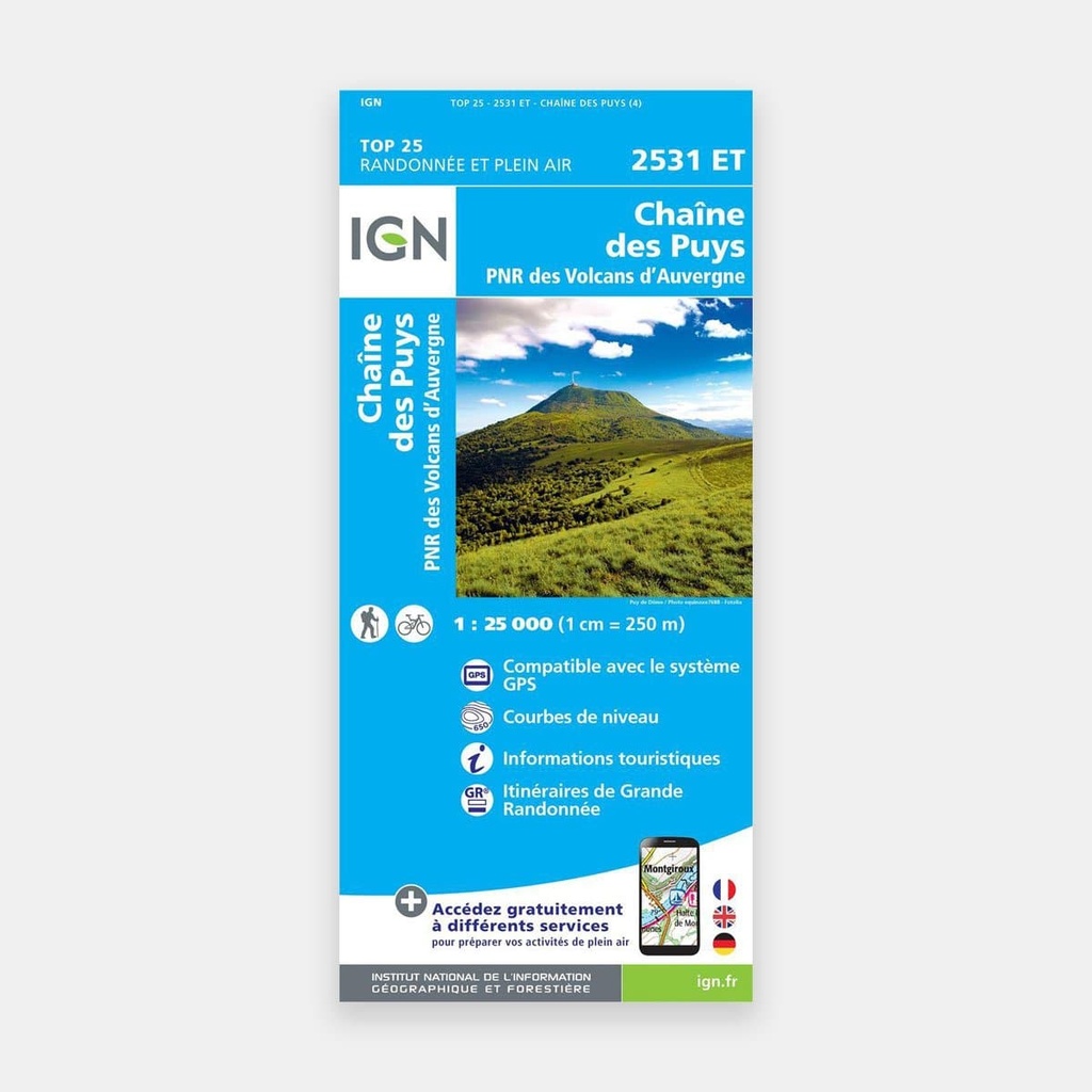
The essential IGN 2531ET hiking map. With extremely high precision, it contains all existing terrain details: communication routes down to the smallest path, buildings down to the last barn, woodland, isolated trees, rivers, springs...
Not forgetting the relief representation through contour lines. Marked trails and tourist information are also shown.
Areas covered: Chaîne des Puys, PNR des Volcans d'Auvergne, Charbonnières-les-Varennes, Chapdes-Beaufort, Orcival, Aurières, Saint-Bonnet-près-Orcival, Vernines, Mazaye, Orcines, Nébouzat, Ceyrat, Saint-Pierre-le-Chastel, Chanonat, Rochefort-Montagne, Olby, Romagnat, Sayat, Saint-Genès-Champanelle, Cournols
Places to discover: Parc naturel régional Volcans d'Auvergne, Lac d'Aydat, Lac de Servières,,Puy Chopine, Puy de Monténard, Puy Giroux, Montagne de la Serre, Puy de la Vache, Col de la Ventouse, Puy de Lassolas, Puy de Clerziou, Puy de Louchadière, Puy Pariou, la Vigeral, Château de Cordés, Fontaine pétrifiantes, Maison du Parc, Château de Chazeron, Puy de Lemptégy, Château Dauphin, Temple de Mercure, la Massif de la Chartreuse de Port-Ste-Marie, Source de Volvic, Château de la Bati
Main features





 15.80 €
15.80 €
15.80 €