These highly precise topographic maps contain all the details found in the terrain, marked trails, and tourist information.
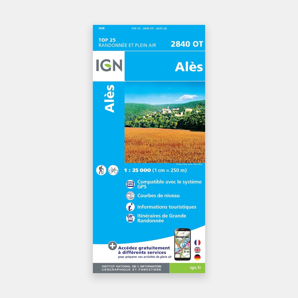
The essential IGN 2840OT hiking map. Extremely precise, it contains all the details found in the terrain: roads and paths down to the smallest trail, buildings down to the barn, woods, isolated trees, rivers, springs...
Not to mention the representation of relief through contour lines. Marked trails and tourist information are also included.
Covered municipalities: Alès, Saint-Brès, Sainte-Cécile-d'Andorge, Saint-Victor-de-Malcap, Saint-Julien-des-Points, Saint-Julien-les-Rosiers, Portes, Chamborigaud, Rivières, Bouquet, Seynes, Brouzet-lès-Alès, Saint-Ambroix, Saint-Martin-de-Valgalgues, Soustelle, Méjannes-lès-Alès
Places to discover: Forêt Domaniale du Rouvergue, Mont Bouquet, Vallon du Mas Soubeyran, Château d'Allègre, Grotte de Trabuc, le Guidon du Bouquet, Château de Portes
Main features




 11.06 €
15.80 €
-30%
11.06 €
15.80 €
-30%