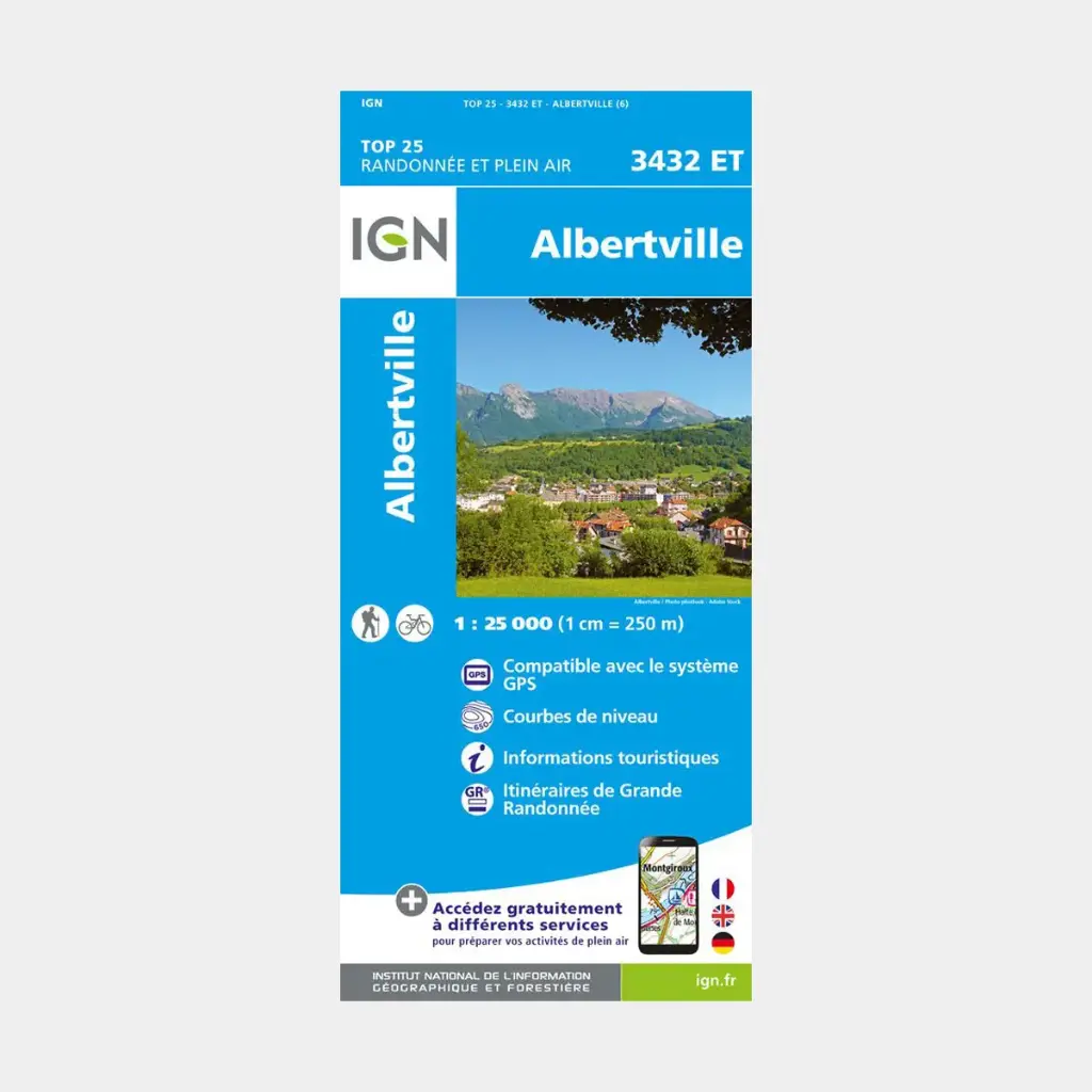
Of very high precision, it contains all existing details on the terrain: roads, paths, constructions down to the barn, woods, isolated trees, rivers, springs... Not to mention the relief representation through contour lines. Marked trails and tourist information are also represented.
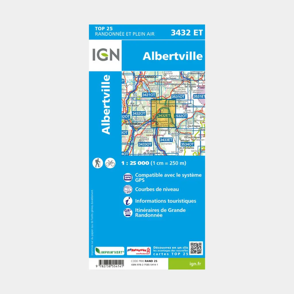
Communes covered: La Léchère, Faverges-Seythenex, Val-d'Arc, Bourgneuf, Bonvillaret, Cléry, Montsapey, Rognaix, Thénésol, Verrens-Arvey, Tours-en-Savoie, Saint-Paul-sur-Isère, Plancherine, La Bâthie, Marthod, Frontenex, Notre-Dame-des-Millières, Mercury, Allondaz
Places to discover: Massif des Bauges, Forêt du Darbelay, Bois de la Motte, le Grand Arc, Pointe de Comborsier, Mont Mirantin, Bellachat, Vallée de la Grande Maison
Main features
 15.80 €
15.80 €
15.80 €