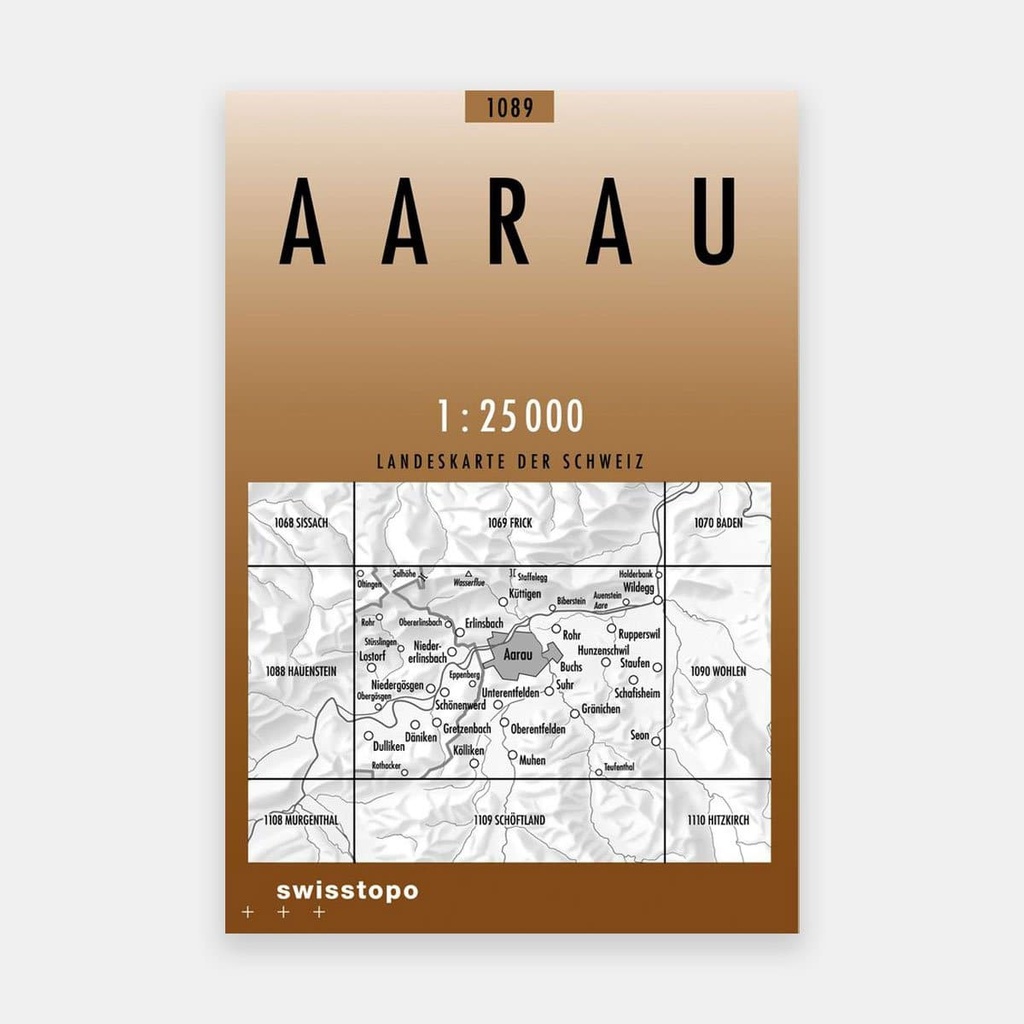
In 2013, SWISSTOPO undertook the modernization of Switzerland's largest national map, namely the 1:25 000 national map, and its 247 sheets.
The redesign of the map also provided an opportunity to modify the graphic representation. Readability has been improved. A new typeface is used and features, e.g. the railway network, are more easily identifiable thanks to distinct colors.
This map offers a wealth of detail, including fully differentiated railway, road, and hiking trail networks. A detailed representation of urban areas, hydrography, vegetation, and terrain, as well as a complete legend of all depicted features.
All of Switzerland and its border regions across 247 maps.
Main features