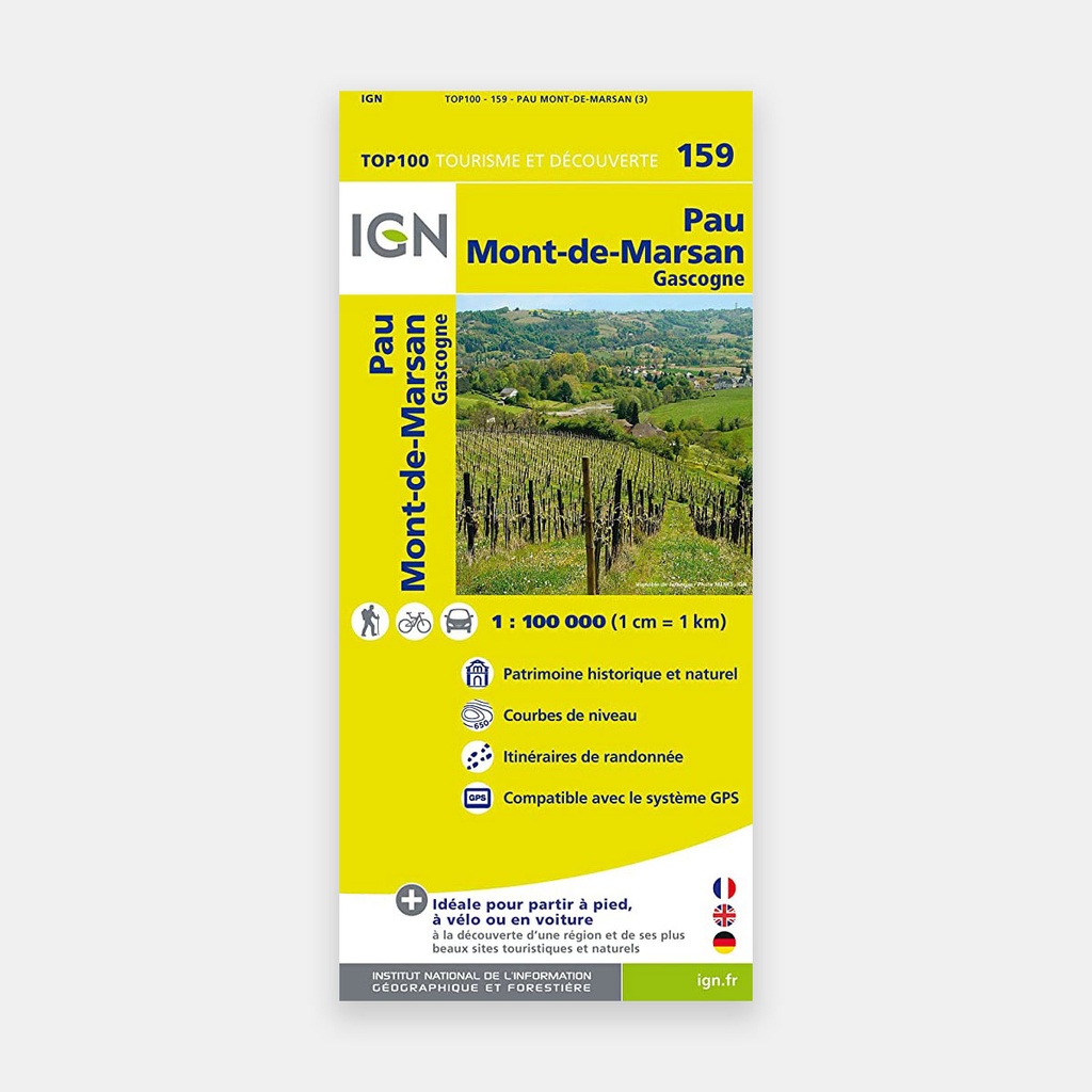
The TOP100 maps, thanks to their 1:100,000 scale (1 cm = 1 km), are ideal for the tourist discovery of a region: on foot, by bike or by car.
A large number of tourist information points are represented with great precision in the mapping: Parks and nature reserves, monuments, castles, museums, caves, viewpoints, shelters, climbing sites and whitewater sports, supervised beaches…
- For discovery on foot, you will find all GR® and GR de Pays® trails
- For discovery by bike, you will find the entire local road network and all Vélo-routes and Voies Vertes with the AF3V classification (paved or gravel road, on dedicated paths or shared with other vehicles…)
- For discovery by car, you will find the entire road network: national, regional, departmental and local
To complement the mapping:
- relief is represented by contour lines and spot heights
- a town index makes it easy to navigate
Main features