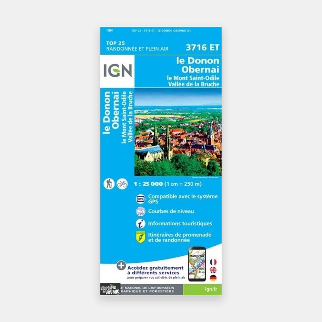
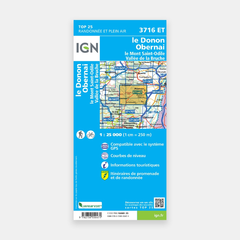
These highly accurate topographic maps contain all existing details of the terrain, marked trails and tourist information.
The essential hiking map IGN 3716ET. With its very high level of accuracy, it contains all existing details of the terrain: roads and paths down to the smallest trail, buildings down to the smallest barn, woodland, isolated trees, rivers, springs...
Not forgetting the representation of relief through contour lines. Marked trails and tourist information are also shown.
Towns and villages covered : Gresswiller, Mutzig, Bernardswiller, B›rsch, La Broque, Mollkirch, Rosheim, Ottrott, Wisches, Oberhaslach, Natzwiller, Neuviller-la-Roche, Grendelbruch, Still, Saint-Blaise-la-Roche, Blancherupt, Fouday, Waldersbach, Gertwiller, Le Hohwald, Belmont, Urm, Mittelbergheim, Obernai, Molsheim, Saint-Quirin
Places to discover : Forêt Domaniale du Donon, Forêt Domaniale de St-Quirin, Forêt Domaniale de Haslach, Malecôte, Schneeberg, Rocher de Mutzig, Neuntelstein, la Haute Loge, le Mont Ste-Odile, Col du Donon, Bornier Chaume, le Donon, Signal de Grendelbruch, Vallée de la Bruche, Vallée du Rabodeau, le Champ du Feu
Main features