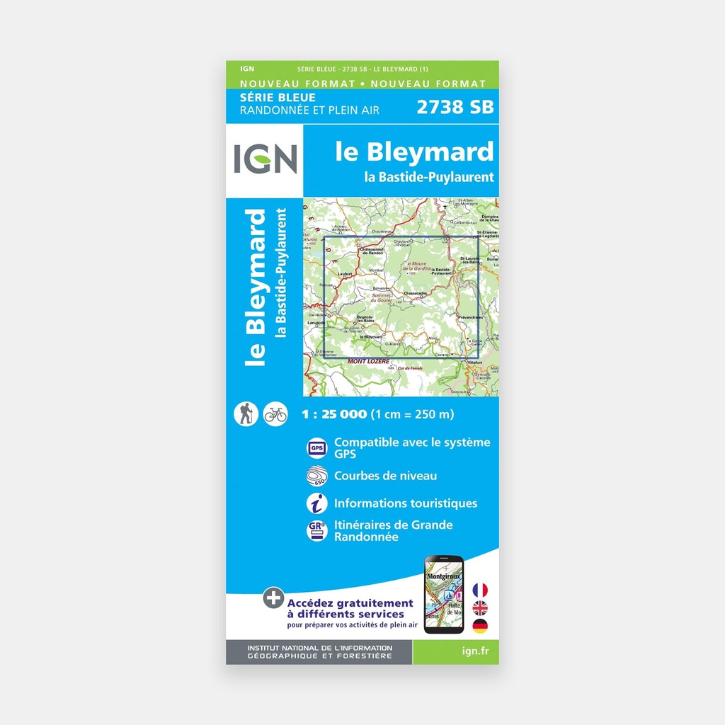
These highly accurate topographic maps contain all existing details of the terrain, marked trails and tourist information.
With very high accuracy, it contains all existing details of the terrain: roads and paths down to the smallest trail, buildings down to the smallest shed, woodland, isolated trees, rivers, springs...
Not forgetting the representation of relief through contour lines. Marked trails and tourist information are also shown.
Communes covered: Le Bleymard, Chadenet, Cheylard-l'Évêque, Pelouse, Luc, Allenc, La Bastide-Puylaurent, Laveyrune, Châteauneuf-de-Randon, Prévenchères, Laubert, Cubières, Sainte-Hélène, Saint-Frézal-d'Albuges, Mont Lozère et Goulet, Chaudeyrac, Montbel, Altier
Places to discover: Parc Naturel Régional des Monts d'Ardèche, Sommet du Goulet, Gorges du Chassezac, le Moure de la Gardille, Mont de la Bruyère, Serre des Countrats, Monts de la Margeride, Plateau du Palais du Roi, Mont Lozère, Causse du Masseguin, le Vallon du Villaret, Château du Champ, Monument à Du Guesclin, Sources de l'Allier, Pierre Branlante, Barage de Villefort, Belvédaire de Chassezac, Abbaye Notre-Dame des Neiges, Château du Tournel.
Main features




 15.80 €
15.80 €
15.80 €