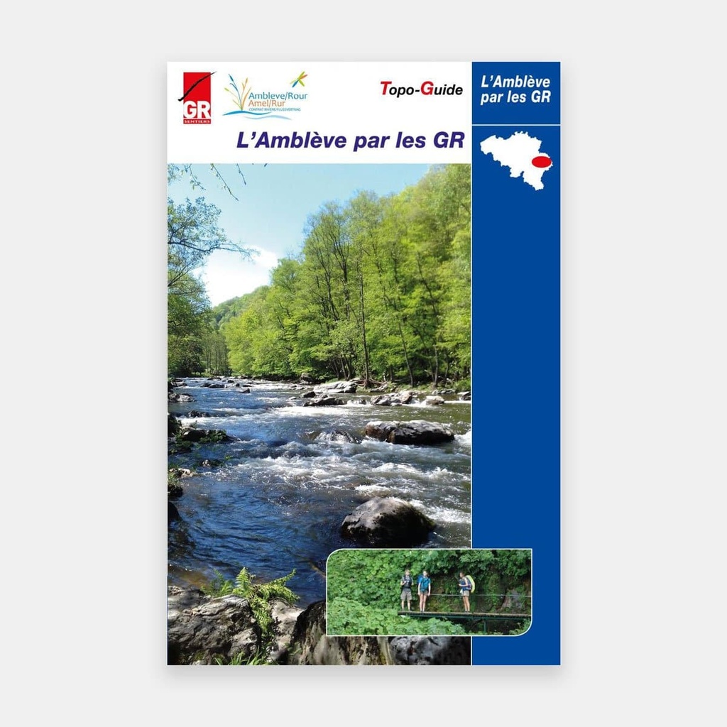
Setting out to discover the Amblève and its tributaries.
Revealing the beauty and richness of the river and its basin — that is the purpose of this new trail guide.
It takes the hiker from Comblain-au-Pont, where the river flows into the Ourthe, all the way to its source near Heppenbach, close to Amel - Amblève. But it also leads along several tributaries, including the Warche, and along the shores of the lakes of Bütgenbach and Robertville. Or through those almost mythical places, such as the Coo waterfall, the Fonds de Quarreux and the Ninglinspo. The "L'Amblève par les GR" route combines sections of the GR 57, 14, 15, 5... but above all the GR 56 "Cantons de l'Est et parc naturel Hautes Fagnes - Eifel" and the GRP 571 "Tour des Vallées des légendes : Amblève - Salm - Lienne".
In addition to the "L'Amblève par les GR" route, ten loops branch off from the main itinerary, taking the hiker closer to the Amblève or along streams well worth discovering. :
1 Boucle de Comblain-au-Pont
2 Boucle de Martinrive
3 Boucle du Ninglinspo
4 Boucle de Stoumont
5 Boucle de La Gleize
6 Boucle de Coo
7 Boucle de Trois-Ponts
8 Boucle de Am Kloster
9 Boucle du lac de Bütgenbach
10 Boucle de Reinhardstein
Hikers will find cultural and tourist information throughout this trail guide. The focus, however, has been placed on the life of the river. Several sections are dedicated to the geology of the basin, hydroelectric power generation, and the fish of the Amblève (where salmon have moreover been reintroduced in recent years). As the river has often inspired writers and painters, pages are devoted to "L'Amblève et les artistes".
On a different note, given that the presence of beavers in the Ardennes valleys is a subject of debate, the guide offers a nuanced assessment of this controversy. History and archaeology enthusiasts, meanwhile, will find much to interest them in the evocation of the abbatial principality of Stavelot-Malmedy and the presentation of its monastic buildings, now converted into remarkable museums.
Main features
- Route description
- Distances and elevation changes
- Tourist information
- Train stations and bus stops, with line numbers
- Resupply points, cafés
- Accommodation
- Photos
- General map at 1:250,000
- Maps at 1:50,000 with the route
For many publications, the publisher supplements its offering by providing downloadable GPX tracks on its website www.grsentiers.be.





 22.95 €
22.95 €
22.95 €