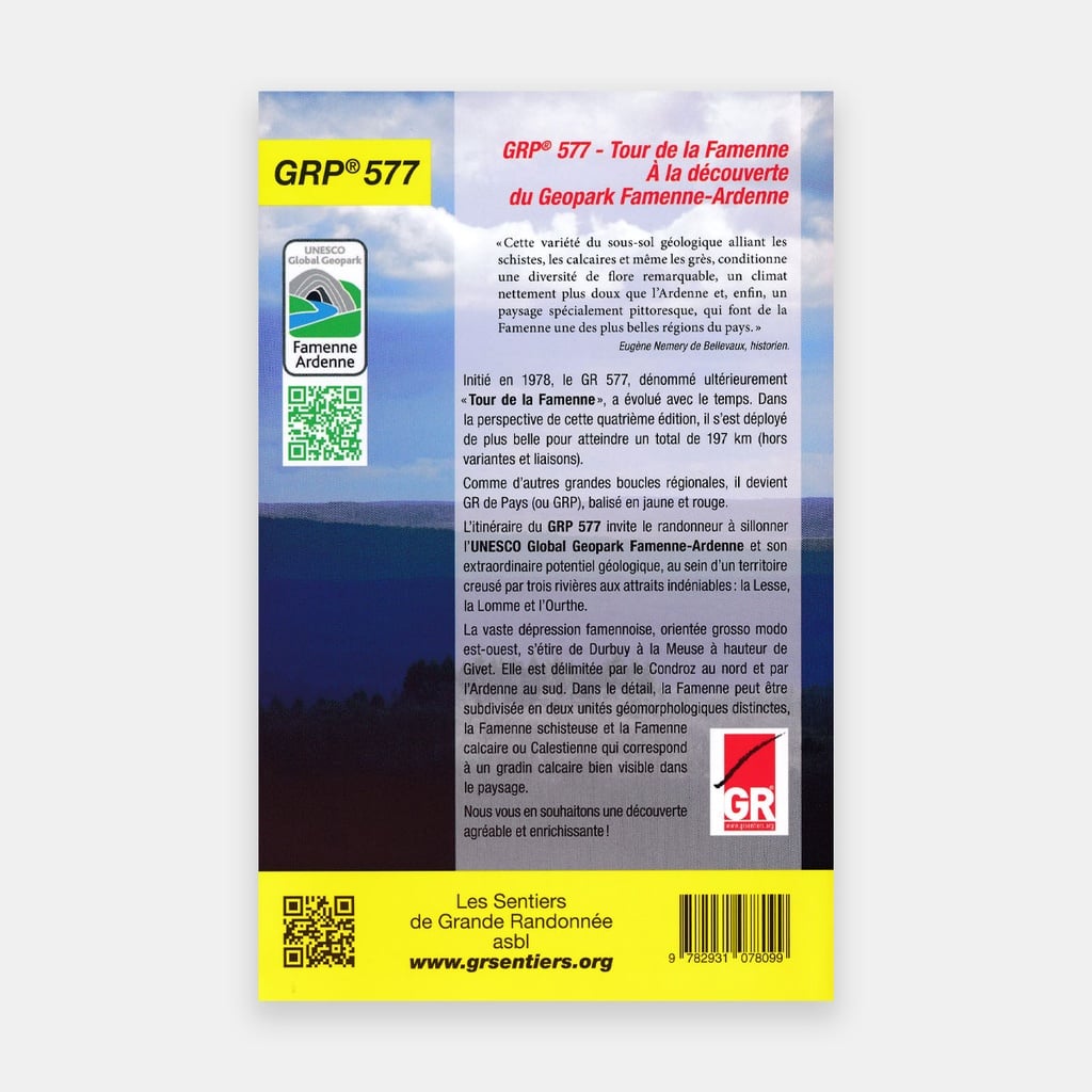
Initiated in 1978, the GR 577, later named "Tour de la Famenne", has evolved over time. In this fourth edition, it expands further to reach a total of 197 km (excluding the Serinchamps Revogne Chevetogne variants and the "Geopark" links to Ambly (Nassogne) – Marche-en-Famenne, "Lesse" GRP 577 – GR 17 Chevetogne – Ciergnon, the Station Links and 8 geo-walks of the Famenne-Ardenne Geopark).
It now passes through the 8 municipalities of the Geopark (Marche, Rochefort, Wellin, Beauraing, Durbuy, Hotton, Nassogne, Tellin) as well as Érezée, Houyet and Ciney.
Like other major regional loops, it becomes a GR de Pays (or GRP), marked in yellow and red. The GRP 577 route invites hikers to explore the UNESCO Famenne-Ardenne Geopark and its extraordinary geological potential within a territory carved by three rivers of undeniable appeal: the Lesse, the Lomme and the Ourthe. The vast Famenne depression, oriented roughly east-west, stretches from Durbuy to the Meuse near Givet.
It is bounded by the Condroz to the north and the Ardennes to the south. In detail, the Famenne can be subdivided into two distinct geomorphological units, the Shale Famenne and the Limestone Famenne or Calestienne, which corresponds to a limestone step clearly visible in the landscape.
Main features
- Distance: 197 km
- Route: Marche-en-Famenne - Rochefort – Han-sur-Lessese – Wellin – Beauraing – Houyet – Sinsin – Durbuy – Hotton – Marche-en-Famenne
For many publications, the publisher completes its offer by providing downloadable GPX tracks on its website www.grsentiers.be.