Very many topographic details with reliable contour lines (25-metre interval), clear use of colour and almost all Tabacco maps have a UTM grid (usable with GPS).
For a leisure walk or a particularly challenging climb... To discover the magnificent countryside or for planning hiking, mountain biking and skiing trips.
For everyone, at any time of year, throughout the entire Eastern Alpine chain, an internationally recognised guarantee of readability, precision and safety. The geographic map is internationally recognised as synonymous with precision and safety.
The product maps focus on the North-East Alpine area and, more specifically, the mountain ranges from Adamello to the karst massifs of Trieste, therefore including all the Dolomites, which have been inscribed as a UNESCO World Heritage Site.
The catalogue includes maps of all national parks in South Tyrol and special maps
Main features
- Almost all maps in the range have the UTM grid structure, with a scale of 1/25,000 and GPS compatible.




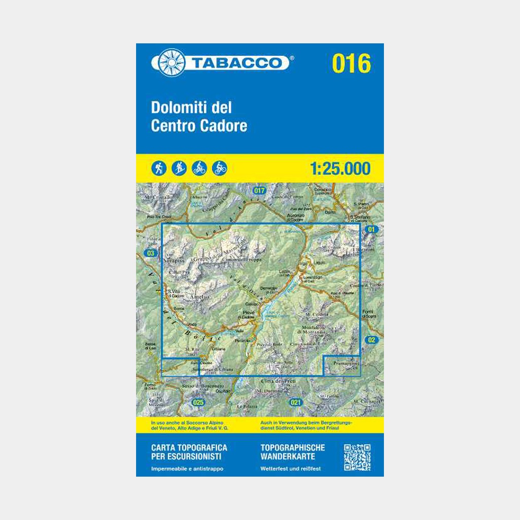
 14.95 €
14.95 €
14.95 €