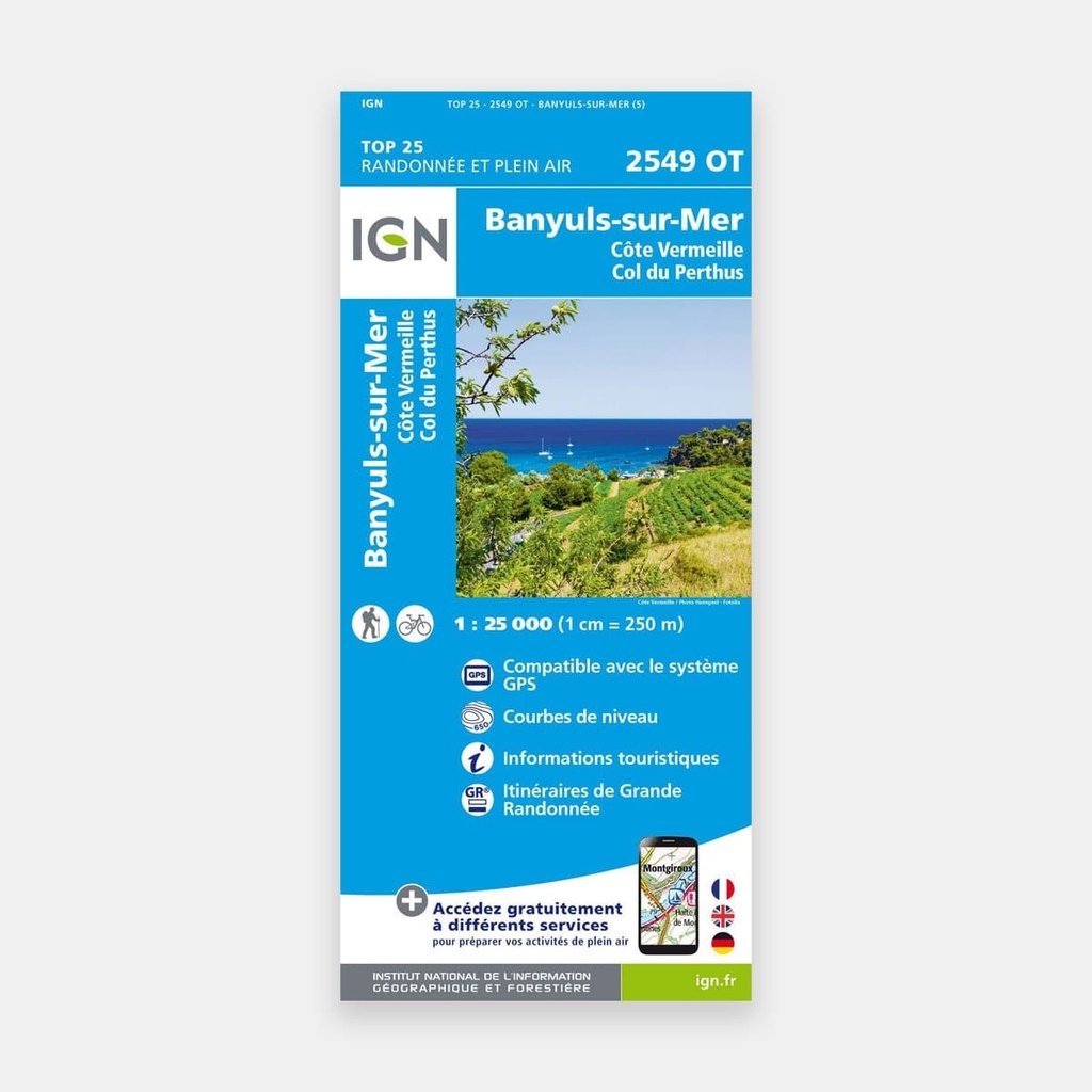
These highly accurate topographic maps contain all existing terrain details, marked trails and tourist information.
The essential IGN 2549OT hiking map. With very high accuracy, it contains all existing terrain details: roads and paths down to the smallest trail, buildings including barns, woodland, isolated trees, rivers, springs...
Not forgetting the representation of relief through contour lines. Marked trails and tourist information are also shown.
Towns and villages covered: Banyuls, Col de Perthus, Côte Vermeille, L'Albère, Banyuls-sur-Mer, Elne, Latour-Bas-Elne, Cerbère, Sorède, Saint-Jean-Lasseille, Ortaffa, Montescot, Corneilla-del-Vercol, Villelongue-dels-Monts, Bages, Tresserre, Saint-André, Le Perthus, Banyuls-dels-Aspres, Laroque-des-Albères
Places to discover: Forêt Domaniale des Albères, Cap l'Abeille, Cap Gros, Col de l'Ouillat, Puig des Pradets, Col du Perthus, Pic Neulos, Col des Balistres, Cap Réderis, Cap Cerbère, Puig de Taravaus, Puyg d'el Tourn, Coll de Banyuls, Cap Béar, Cap Oullestrell, Cap du Troc, Sa de Valmeta, Serra de l,Chapelle, Cloître, Notre-Dame de la Consolation, Château Royal, Réserve Naturelle du Mas Larrieu, Réserve Naturelle de la Forêt de la Massane, Sant Quirze de Colera, Tour Madeloc, la Vallée des Tortues, Chapelle Notre-Dame de Vilar
Main features